

User Assessment of Coastal DSS
441
decision-making process. Decisions become based on data widely “perceived as
objective” and precise. For example, “ ‘It’s too close’ becomes ‘2.7 miles away’ ”
(respondents quote).
Despite these expectations of GIS, several respondents cautioned against the
role of GIS in coastal decision making with such comments as:
“GIS will be only one tool”
“Many factors that go into the final decision are non-spatial”
“GIS could be used to influence decision making, but the decision would
still be political”
and
“GIS provides the background information but the actual decision
making about multiple use is still made by the agencies after technical
overview and public discussion”.
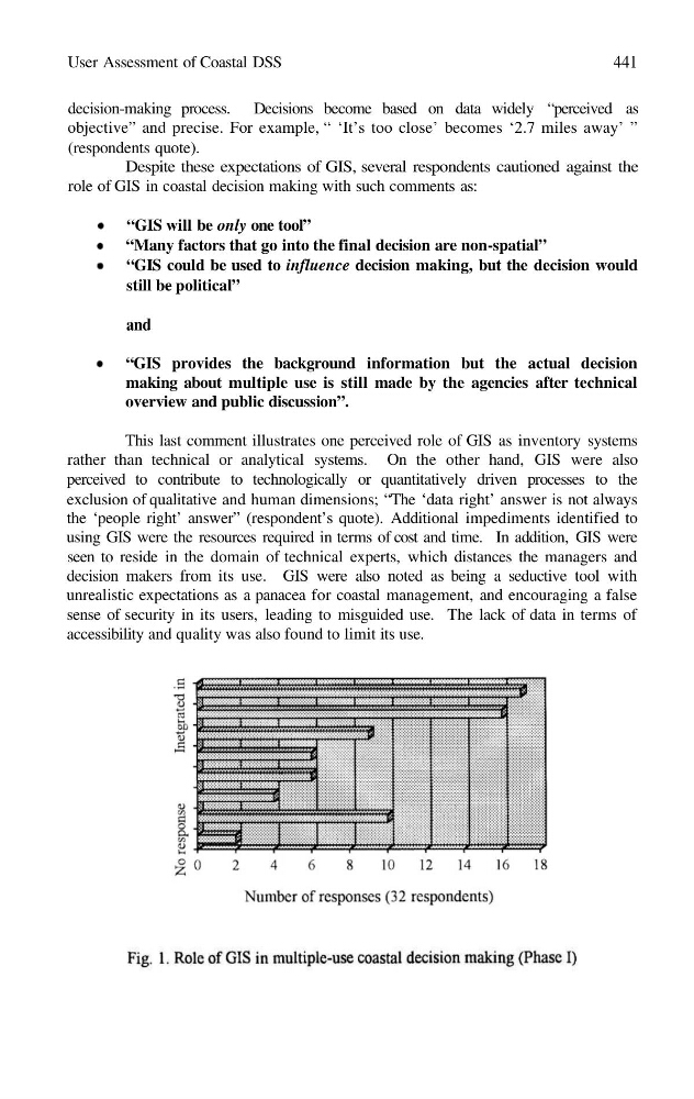
This last comment illustrates one perceived role of GIS as inventory systems
rather than technical or analytical systems. On the other hand, GIS were also
perceived to contribute to technologically or quantitatively driven processes to the
exclusion of qualitative and human dimensions; “The ‘data right’ answer is not always
the ‘people right’ answer” (respondent’s quote). Additional impediments identified to
using GIS were the resources required in terms of cost and time. In addition, GIS were
seen to reside in the domain of technical experts, which distances the managers and
decision makers from its use. GIS were also noted as being a seductive tool with
unrealistic expectations as a panacea for coastal management, and encouraging a false
sense of security in its users, leading to misguided use. The lack of data in terms of
accessibility and quality was also found to limit its use.
441
decision-making process. Decisions become based on data widely “perceived as
objective” and precise. For example, “ ‘It’s too close’ becomes ‘2.7 miles away’ ”
(respondents quote).
Despite these expectations of GIS, several respondents cautioned against the
role of GIS in coastal decision making with such comments as:
“GIS will be only one tool”
“Many factors that go into the final decision are non-spatial”
“GIS could be used to influence decision making, but the decision would
still be political”
and
“GIS provides the background information but the actual decision
making about multiple use is still made by the agencies after technical
overview and public discussion”.
This last comment illustrates one perceived role of GIS as inventory systems
rather than technical or analytical systems. On the other hand, GIS were also
perceived to contribute to technologically or quantitatively driven processes to the
exclusion of qualitative and human dimensions; “The ‘data right’ answer is not always
the ‘people right’ answer” (respondent’s quote). Additional impediments identified to
using GIS were the resources required in terms of cost and time. In addition, GIS were
seen to reside in the domain of technical experts, which distances the managers and
decision makers from its use. GIS were also noted as being a seductive tool with
unrealistic expectations as a panacea for coastal management, and encouraging a false
sense of security in its users, leading to misguided use. The lack of data in terms of
accessibility and quality was also found to limit its use.