

Constructing a Database of Coastal Change Using GIS
403
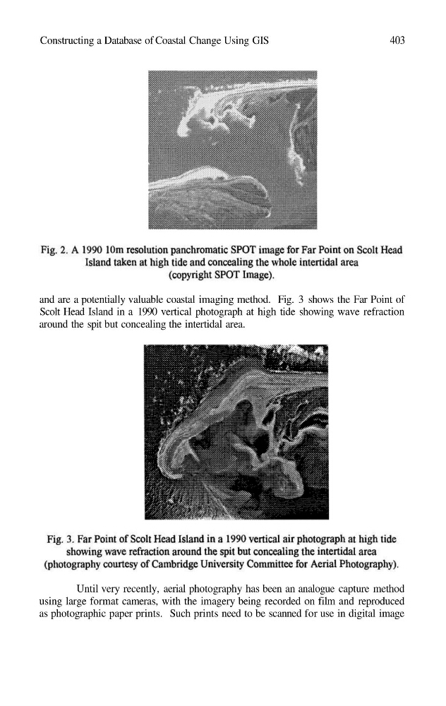
and are a potentially valuable coastal imaging method. Fig. 3 shows the Far Point of
Scolt Head Island in a 1990 vertical photograph at high tide showing wave refraction
around the spit but concealing the intertidal area.
Until very recently, aerial photography has been an analogue capture method
using large format cameras, with the imagery being recorded on film and reproduced
as photographic paper prints. Such prints need to be scanned for use in digital image
403
and are a potentially valuable coastal imaging method. Fig. 3 shows the Far Point of
Scolt Head Island in a 1990 vertical photograph at high tide showing wave refraction
around the spit but concealing the intertidal area.
Until very recently, aerial photography has been an analogue capture method
using large format cameras, with the imagery being recorded on film and reproduced
as photographic paper prints. Such prints need to be scanned for use in digital image