

Constructing a Database of Coastal Change Using GIS
401
height so as to give no protection to the frontage. This is the time at which the
defences should be renewed, as the defences will age while a new spit forms and
extends across the frontage. In this fashion the overdesign and inappropriate timing of
construction can be avoided.
However, studies of actual morphodynamic change must be founded upon a
consistent database of geomorphological information. This chapter aims to show how
data on morphodynamics can be collected at the coast and how such data can be
integrated for a holistic analysis. The key datasets for the morphodynamic analysis of
the landforms of the nearshore intertidal zone are firstly, dense measurements of
terrain elevation (especially at breaks of slope), and secondly, descriptions of
sedimentary materials of which the landform is made, and thirdly, data on wave
energy and tidal heights in the vicinity of the landform. Such data must be
georeferenced, integrated into a GIS and referenced to time so that queries concerning
the change of terrain elevation and sedimentary materials can be undertaken.
Examples of preliminary work in this area will be presented from spit morphodynamic
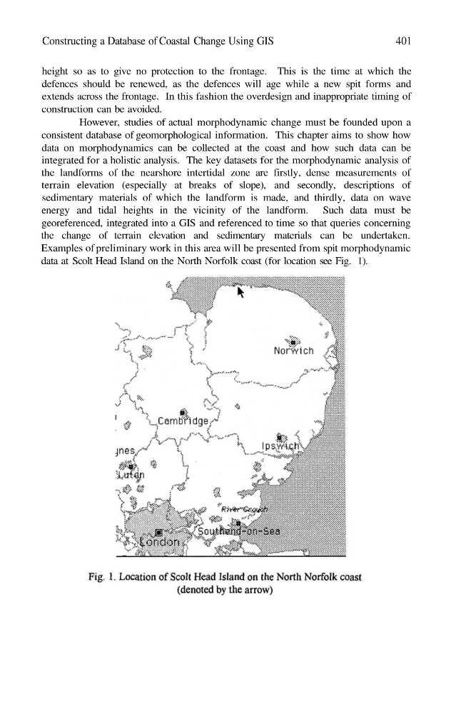
data at Scolt Head Island on the North Norfolk coast (for location see Fig. 1).
401
height so as to give no protection to the frontage. This is the time at which the
defences should be renewed, as the defences will age while a new spit forms and
extends across the frontage. In this fashion the overdesign and inappropriate timing of
construction can be avoided.
However, studies of actual morphodynamic change must be founded upon a
consistent database of geomorphological information. This chapter aims to show how
data on morphodynamics can be collected at the coast and how such data can be
integrated for a holistic analysis. The key datasets for the morphodynamic analysis of
the landforms of the nearshore intertidal zone are firstly, dense measurements of
terrain elevation (especially at breaks of slope), and secondly, descriptions of
sedimentary materials of which the landform is made, and thirdly, data on wave
energy and tidal heights in the vicinity of the landform. Such data must be
georeferenced, integrated into a GIS and referenced to time so that queries concerning
the change of terrain elevation and sedimentary materials can be undertaken.
Examples of preliminary work in this area will be presented from spit morphodynamic
data at Scolt Head Island on the North Norfolk coast (for location see Fig. 1).