

The Management of Oyster Culture Leases and Production
263
concern biological data such as samples of oyster biomass. Geostatistics help us to
understand the spatial structure of a phenomena (a variable) by building its
experimental variogram and applying the model of the structure to make estimates in
unknown places. After building the experimental variogram and interpreting it, a
model of the structure and a neighbourhood are chosen. The calculation of the value at
the unknown grid location is the weighted sum of all samples points contained in the
neighbourhood, the weights being provided by the model. Kriging was performed here
with Isatis, software developed and distributed by Géovariances.
The Lease Cadastral Maps
DESCRIPTION
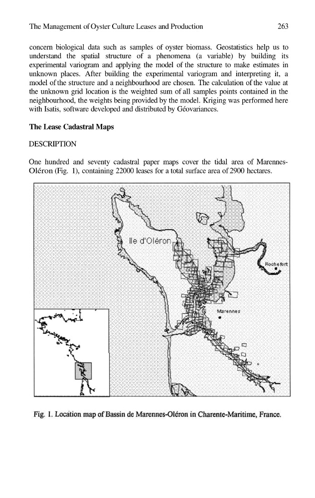
One hundred and seventy cadastral paper maps cover the tidal area of MarennesOléron (Fig. 1), containing 22000 leases for a total surface area of 2900 hectares.
263
concern biological data such as samples of oyster biomass. Geostatistics help us to
understand the spatial structure of a phenomena (a variable) by building its
experimental variogram and applying the model of the structure to make estimates in
unknown places. After building the experimental variogram and interpreting it, a
model of the structure and a neighbourhood are chosen. The calculation of the value at
the unknown grid location is the weighted sum of all samples points contained in the
neighbourhood, the weights being provided by the model. Kriging was performed here
with Isatis, software developed and distributed by Géovariances.
The Lease Cadastral Maps
DESCRIPTION
One hundred and seventy cadastral paper maps cover the tidal area of MarennesOléron (Fig. 1), containing 22000 leases for a total surface area of 2900 hectares.