

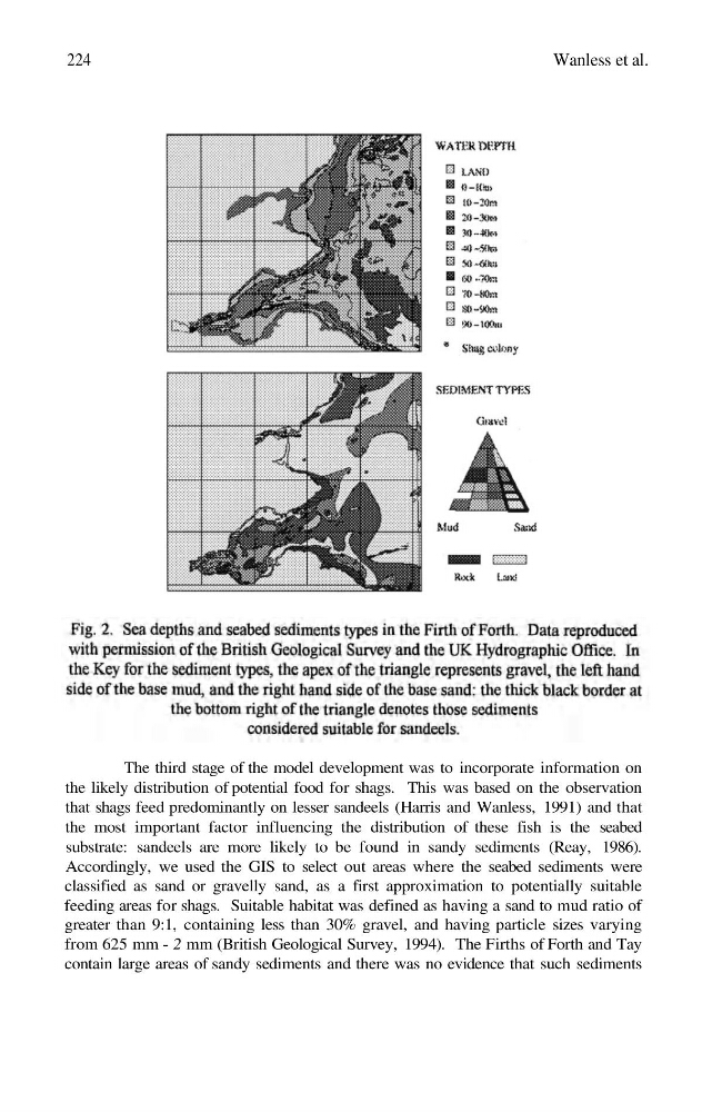
The third stage of the model development was to incorporate information on
the likely distribution of potential food for shags. This was based on the observation
that shags feed predominantly on lesser sandeels (Harris and Wanless, 1991) and that
the most important factor influencing the distribution of these fish is the seabed
substrate: sandeels are more likely to be found in sandy sediments (Reay, 1986).
Accordingly, we used the GIS to select out areas where the seabed sediments were
classified as sand or gravelly sand, as a first approximation to potentially suitable
feeding areas for shags. Suitable habitat was defined as having a sand to mud ratio of
greater than 9:1, containing less than 30% gravel, and having particle sizes varying
from 625 mm - 2 mm (British Geological Survey, 1994). The Firths of Forth and Tay
contain large areas of sandy sediments and there was no evidence that such sediments
224
Wanless et al.
the likely distribution of potential food for shags. This was based on the observation
that shags feed predominantly on lesser sandeels (Harris and Wanless, 1991) and that
the most important factor influencing the distribution of these fish is the seabed
substrate: sandeels are more likely to be found in sandy sediments (Reay, 1986).
Accordingly, we used the GIS to select out areas where the seabed sediments were
classified as sand or gravelly sand, as a first approximation to potentially suitable
feeding areas for shags. Suitable habitat was defined as having a sand to mud ratio of
greater than 9:1, containing less than 30% gravel, and having particle sizes varying
from 625 mm - 2 mm (British Geological Survey, 1994). The Firths of Forth and Tay
contain large areas of sandy sediments and there was no evidence that such sediments
224
Wanless et al.