

196
Newsham et al.
long-term average rate. Similarly an assumed accelerated or decelerated rate can be
used in order to assess the implications of future change. Erosion yields can also be
hindcast but it is necessary then to assume that the present cliff-top elevation profile is
representative of the past profile. The length of coastline can be divided into sections
with different migration values if necessary.
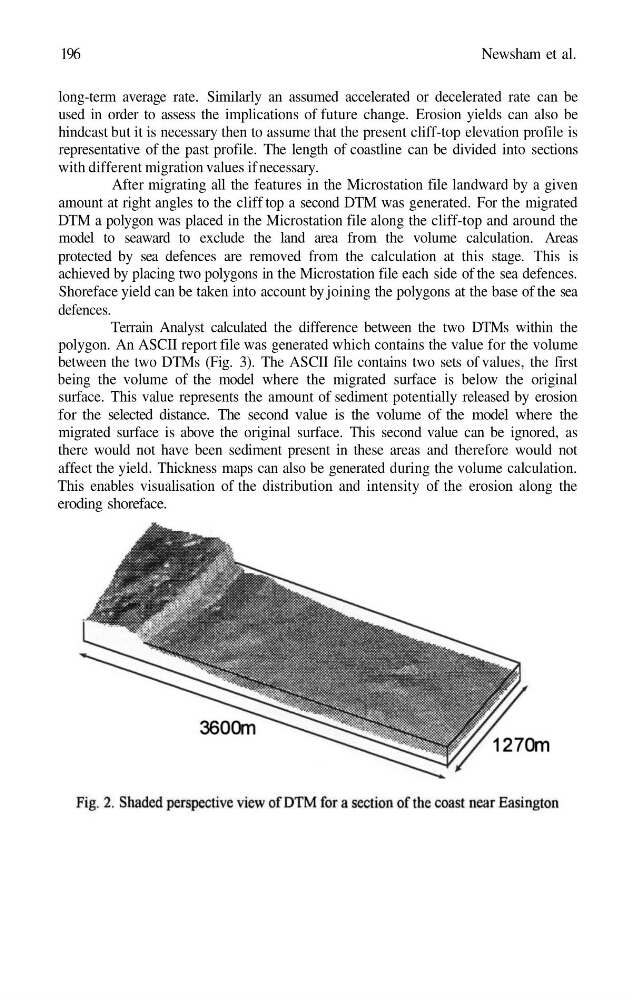
After migrating all the features in the Microstation file landward by a given
amount at right angles to the cliff top a second DTM was generated. For the migrated
DTM a polygon was placed in the Microstation file along the cliff-top and around the
model to seaward to exclude the land area from the volume calculation. Areas
protected by sea defences are removed from the calculation at this stage. This is
achieved by placing two polygons in the Microstation file each side of the sea defences.
Shoreface yield can be taken into account by joining the polygons at the base of the sea
defences.
Terrain Analyst calculated the difference between the two DTMs within the
polygon. An ASCII report file was generated which contains the value for the volume
between the two DTMs (Fig. 3). The ASCII file contains two sets of values, the first
being the volume of the model where the migrated surface is below the original
surface. This value represents the amount of sediment potentially released by erosion
for the selected distance. The second value is the volume of the model where the
migrated surface is above the original surface. This second value can be ignored, as
there would not have been sediment present in these areas and therefore would not
affect the yield. Thickness maps can also be generated during the volume calculation.
This enables visualisation of the distribution and intensity of the erosion along the
eroding shoreface.
Newsham et al.
long-term average rate. Similarly an assumed accelerated or decelerated rate can be
used in order to assess the implications of future change. Erosion yields can also be
hindcast but it is necessary then to assume that the present cliff-top elevation profile is
representative of the past profile. The length of coastline can be divided into sections
with different migration values if necessary.
After migrating all the features in the Microstation file landward by a given
amount at right angles to the cliff top a second DTM was generated. For the migrated
DTM a polygon was placed in the Microstation file along the cliff-top and around the
model to seaward to exclude the land area from the volume calculation. Areas
protected by sea defences are removed from the calculation at this stage. This is
achieved by placing two polygons in the Microstation file each side of the sea defences.
Shoreface yield can be taken into account by joining the polygons at the base of the sea
defences.
Terrain Analyst calculated the difference between the two DTMs within the
polygon. An ASCII report file was generated which contains the value for the volume
between the two DTMs (Fig. 3). The ASCII file contains two sets of values, the first
being the volume of the model where the migrated surface is below the original
surface. This value represents the amount of sediment potentially released by erosion
for the selected distance. The second value is the volume of the model where the
migrated surface is above the original surface. This second value can be ignored, as
there would not have been sediment present in these areas and therefore would not
affect the yield. Thickness maps can also be generated during the volume calculation.
This enables visualisation of the distribution and intensity of the erosion along the
eroding shoreface.