

2.
168
H. Goodwin and R. Palerud
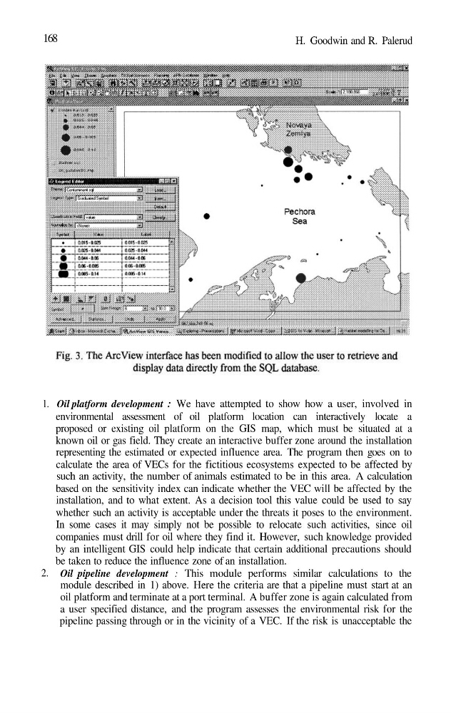
1. Oil platform development : We have attempted to show how a user, involved in
environmental assessment of oil platform location can interactively locate a
proposed or existing oil platform on the GIS map, which must be situated at a
known oil or gas field. They create an interactive buffer zone around the installation
representing the estimated or expected influence area. The program then goes on to
calculate the area of VECs for the fictitious ecosystems expected to be affected by
such an activity, the number of animals estimated to be in this area. A calculation
based on the sensitivity index can indicate whether the VEC will be affected by the
installation, and to what extent. As a decision tool this value could be used to say
whether such an activity is acceptable under the threats it poses to the environment.
In some cases it may simply not be possible to relocate such activities, since oil
companies must drill for oil where they find it. However, such knowledge provided
by an intelligent GIS could help indicate that certain additional precautions should
be taken to reduce the influence zone of an installation.
Oil pipeline development : This module performs similar calculations to the
module described in 1) above. Here the criteria are that a pipeline must start at an
oil platform and terminate at a port terminal. A buffer zone is again calculated from
a user specified distance, and the program assesses the environmental risk for the
pipeline passing through or in the vicinity of a VEC. If the risk is unacceptable the
168
H. Goodwin and R. Palerud
1. Oil platform development : We have attempted to show how a user, involved in
environmental assessment of oil platform location can interactively locate a
proposed or existing oil platform on the GIS map, which must be situated at a
known oil or gas field. They create an interactive buffer zone around the installation
representing the estimated or expected influence area. The program then goes on to
calculate the area of VECs for the fictitious ecosystems expected to be affected by
such an activity, the number of animals estimated to be in this area. A calculation
based on the sensitivity index can indicate whether the VEC will be affected by the
installation, and to what extent. As a decision tool this value could be used to say
whether such an activity is acceptable under the threats it poses to the environment.
In some cases it may simply not be possible to relocate such activities, since oil
companies must drill for oil where they find it. However, such knowledge provided
by an intelligent GIS could help indicate that certain additional precautions should
be taken to reduce the influence zone of an installation.
Oil pipeline development : This module performs similar calculations to the
module described in 1) above. Here the criteria are that a pipeline must start at an
oil platform and terminate at a port terminal. A buffer zone is again calculated from
a user specified distance, and the program assesses the environmental risk for the
pipeline passing through or in the vicinity of a VEC. If the risk is unacceptable the