

Micronesia
Commonwealth of the
Northern Mariana Islands
and Guam
MAP 13a
The
Mariana Islands form a long chain of 15 high
islands in the Western Pacific, running approximately 800 kilometers from Farallon de Pajaros
(Uracas) in the north to Guam in the south. The
southernmost island of Guam is an unincorporated
territory of the USA, while the remaining islands, the
Commonwealth of the Northern Mariana Islands (CNMI),
are a commonwealth in political union with the USA.
They are located on the eastern margin of the Philippine
tectonic plate. To the east, the Mariana Trench has been
formed by the subduction of the Pacific plate and there
is considerable volcanic activity, particularly to the north
of this chain. The Mariana Trench is the deepest ocean
trench in the world, and to the south of Guam, the
Challenger Deep is the deepest known point, at 1 1 034
meters. The climate is fairly stable, with a dry season
from January to June when the northeast trade winds
predominate, and a wet season from July to November.
The region experiences regular typhoons, most recently
Supertyphoon Paka, which passed between Guam and
Rota in December 1997 with recorded sustained windspeeds on Guam of 185 kilometers per hour and gusts of
over 270 kilometers per hour.
Guam is the southernmost and largest of the islands.
The northern areas consist of a large uplifted limestone
plateau, while the south of the island is dominated by
volcanic hills reaching 406 meters. The entire island is
encircled by fringing reefs. The five southernmost islands
of the CNMI similarly consist of both volcanic and
uplifted limestone structures. Rota has a volcanic center
with an uplifted limestone terrace all around, and is
mostly surrounded by narrow but well developed fringing
reefs. Tinian and the nearby Aguijan are uplifted
limestone - Tinian has a few areas of narrow fringing
reefs, while Aguijan has no clearly developed reef
structures, although there are diverse and actively growing
coral communities. Saipan also has a volcanic center and
reaches nearly 500 meters in elevation, but has a raised
limestone perimeter with a gently shelving coastline on
the west, and a more dramatic one on the east. Saipan
has a well developed barrier reef and lagoon system
running off its west coast with fringing reefs in a
number of localities. Farallon de Medinilla is another
small limestone island, with coral communities in its
surrounding waters.
The nine islands north of Farallon de Medinilla are
entirely volcanic, including some which are still active
and, for the most part, do not have any reef structures.
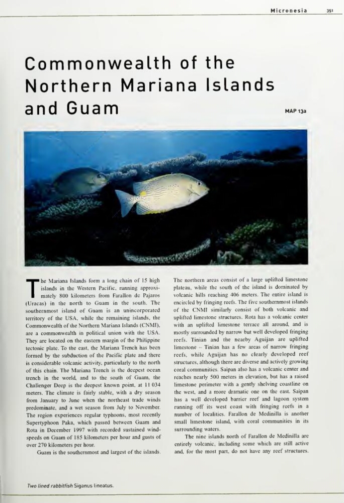
Two lined rabbitfish Siganus Uneatus.
Commonwealth of the
Northern Mariana Islands
and Guam
MAP 13a
The
Mariana Islands form a long chain of 15 high
islands in the Western Pacific, running approximately 800 kilometers from Farallon de Pajaros
(Uracas) in the north to Guam in the south. The
southernmost island of Guam is an unincorporated
territory of the USA, while the remaining islands, the
Commonwealth of the Northern Mariana Islands (CNMI),
are a commonwealth in political union with the USA.
They are located on the eastern margin of the Philippine
tectonic plate. To the east, the Mariana Trench has been
formed by the subduction of the Pacific plate and there
is considerable volcanic activity, particularly to the north
of this chain. The Mariana Trench is the deepest ocean
trench in the world, and to the south of Guam, the
Challenger Deep is the deepest known point, at 1 1 034
meters. The climate is fairly stable, with a dry season
from January to June when the northeast trade winds
predominate, and a wet season from July to November.
The region experiences regular typhoons, most recently
Supertyphoon Paka, which passed between Guam and
Rota in December 1997 with recorded sustained windspeeds on Guam of 185 kilometers per hour and gusts of
over 270 kilometers per hour.
Guam is the southernmost and largest of the islands.
The northern areas consist of a large uplifted limestone
plateau, while the south of the island is dominated by
volcanic hills reaching 406 meters. The entire island is
encircled by fringing reefs. The five southernmost islands
of the CNMI similarly consist of both volcanic and
uplifted limestone structures. Rota has a volcanic center
with an uplifted limestone terrace all around, and is
mostly surrounded by narrow but well developed fringing
reefs. Tinian and the nearby Aguijan are uplifted
limestone - Tinian has a few areas of narrow fringing
reefs, while Aguijan has no clearly developed reef
structures, although there are diverse and actively growing
coral communities. Saipan also has a volcanic center and
reaches nearly 500 meters in elevation, but has a raised
limestone perimeter with a gently shelving coastline on
the west, and a more dramatic one on the east. Saipan
has a well developed barrier reef and lagoon system
running off its west coast with fringing reefs in a
number of localities. Farallon de Medinilla is another
small limestone island, with coral communities in its
surrounding waters.
The nine islands north of Farallon de Medinilla are
entirely volcanic, including some which are still active
and, for the most part, do not have any reef structures.
Two lined rabbitfish Siganus Uneatus.