

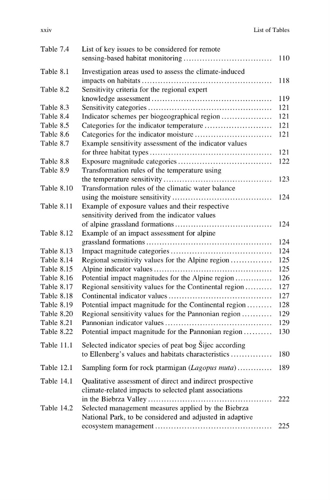
Table 7.4
List of key issues to be considered for remote
sensing-based habitat monitoring . . ..... .... ..... .... ..... .... .... 110
Table 8.1
Investigation areas used to assess the climate-induced
impacts on habitats . . . . . . . . . . . . . . . . . . . . . . . . . . . . . . . . . . . . . . . . . . . . . . . . . 118
Table 8.2
Sensitivity criteria for the regional expert
knowledge assessment ............................................. 119
Table 8.3
Sensitivity categories ............................................... 121
Table 8.4
Indicator schemes per biogeographical region . . . . . . . ............ 121
Table 8.5
Categories for the indicator temperature . . . . . . . .. . .. . .. . .. . .. . .. . 121
Table 8.6
Categories for the indicator moisture . . . .......................... 121
Table 8.7
Example sensitivity assessment of the indicator values
for three habitat types . . . . . . . . . . . . . . . . . . . . . . . . . . . . . . . . . . . . . . . . . . . . . . 121
Table 8.8
Exposure magnitude categories ..... .... ..... .... ..... .... ..... ... 122
Table 8.9
Transformation rules of the temperature using
the temperature sensitivity . . . . ..................................... 123
Table 8.10 Transformation rules of the climatic water balance
using the moisture sensitivity . ..................................... 124
Table 8.11 Example of exposure values and their respective
sensitivity derived from the indicator values
of alpine grassland formations .. . .. . .. .. . .. . .. . .. . .. . .. . .. . .. . .. . .. 124
Table 8.12 Example of an impact assessment for alpine
grassland formations .. . .. . .. .. . .. . .. . .. . .. . .. . .. .. . .. . .. . .. . .. . .. . .. 124
Table 8.13 Impact magnitude categories ...................................... 124
Table 8.14 Regional sensitivity values for the Alpine region . . . . . . . . . . . . . . . 125
Table 8.15 Alpine indicator values . . ........................................... 125
Table 8.16 Potential impact magnitudes for the Alpine region .............. 126
Table 8.17 Regional sensitivity values for the Continental region .... ...... 127
Table 8.18 Continental indicator values . . . . . . . . . . . . . . . . . . . . . . . . . . . . . . . . . . . . . . . 127
Table 8.19 Potential impact magnitude for the Continental region . . . . . . . . . 128
Table 8.20 Regional sensitivity values for the Pannonian region . . . . . . . . . . . 129
Table 8.21 Pannonian indicator values ........................................ 129
Table 8.22 Potential impact magnitude for the Pannonian region . . . . . . . . . . 130
Table 11.1 Selected indicator species of peat bog S ˇ ijec according
to Ellenberg’s values and habitats characteristics . . . . . . . . . . . . . . . 180
Table 12.1 Sampling form for rock ptarmigan (Lagopus muta) ............. 189
Table 14.1 Qualitative assessment of direct and indirect prospective
climate-related impacts to selected plant associations
in the Biebrza Valley ............................................... 222
Table 14.2 Selected management measures applied by the Biebrza
National Park, to be considered and adjusted in adaptive
ecosystem management . . . . . . . . . . . . . . . . . . . . . . . . . . . . . . . . . . . . . . . . . . . . 225
xxiv
List of Tables
List of key issues to be considered for remote
sensing-based habitat monitoring . . ..... .... ..... .... ..... .... .... 110
Table 8.1
Investigation areas used to assess the climate-induced
impacts on habitats . . . . . . . . . . . . . . . . . . . . . . . . . . . . . . . . . . . . . . . . . . . . . . . . . 118
Table 8.2
Sensitivity criteria for the regional expert
knowledge assessment ............................................. 119
Table 8.3
Sensitivity categories ............................................... 121
Table 8.4
Indicator schemes per biogeographical region . . . . . . . ............ 121
Table 8.5
Categories for the indicator temperature . . . . . . . .. . .. . .. . .. . .. . .. . 121
Table 8.6
Categories for the indicator moisture . . . .......................... 121
Table 8.7
Example sensitivity assessment of the indicator values
for three habitat types . . . . . . . . . . . . . . . . . . . . . . . . . . . . . . . . . . . . . . . . . . . . . . 121
Table 8.8
Exposure magnitude categories ..... .... ..... .... ..... .... ..... ... 122
Table 8.9
Transformation rules of the temperature using
the temperature sensitivity . . . . ..................................... 123
Table 8.10 Transformation rules of the climatic water balance
using the moisture sensitivity . ..................................... 124
Table 8.11 Example of exposure values and their respective
sensitivity derived from the indicator values
of alpine grassland formations .. . .. . .. .. . .. . .. . .. . .. . .. . .. . .. . .. . .. 124
Table 8.12 Example of an impact assessment for alpine
grassland formations .. . .. . .. .. . .. . .. . .. . .. . .. . .. .. . .. . .. . .. . .. . .. . .. 124
Table 8.13 Impact magnitude categories ...................................... 124
Table 8.14 Regional sensitivity values for the Alpine region . . . . . . . . . . . . . . . 125
Table 8.15 Alpine indicator values . . ........................................... 125
Table 8.16 Potential impact magnitudes for the Alpine region .............. 126
Table 8.17 Regional sensitivity values for the Continental region .... ...... 127
Table 8.18 Continental indicator values . . . . . . . . . . . . . . . . . . . . . . . . . . . . . . . . . . . . . . . 127
Table 8.19 Potential impact magnitude for the Continental region . . . . . . . . . 128
Table 8.20 Regional sensitivity values for the Pannonian region . . . . . . . . . . . 129
Table 8.21 Pannonian indicator values ........................................ 129
Table 8.22 Potential impact magnitude for the Pannonian region . . . . . . . . . . 130
Table 11.1 Selected indicator species of peat bog S ˇ ijec according
to Ellenberg’s values and habitats characteristics . . . . . . . . . . . . . . . 180
Table 12.1 Sampling form for rock ptarmigan (Lagopus muta) ............. 189
Table 14.1 Qualitative assessment of direct and indirect prospective
climate-related impacts to selected plant associations
in the Biebrza Valley ............................................... 222
Table 14.2 Selected management measures applied by the Biebrza
National Park, to be considered and adjusted in adaptive
ecosystem management . . . . . . . . . . . . . . . . . . . . . . . . . . . . . . . . . . . . . . . . . . . . 225
xxiv
List of Tables