

54
A. M. A. Mohamed
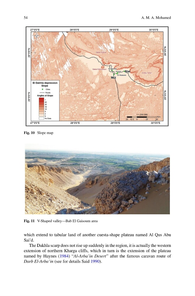
Fig. 10 Slope map
Fig. 11 V-Shaped valley—Bab El Gaisoum area
which extend to tabular land of another cuesta-shape plateau named Al Qus Abu
Sai’d.
The Dakhla scarp does not rise up suddenly in the region, it is actually the western
extension of northern Kharga cliffs, which in turn is the extension of the plateau
named by Haynes (1984) “Al-Arba’in Desert” after the famous caravan route of
Darb El-Arba’in (see for details Said 1990).
A. M. A. Mohamed
Fig. 10 Slope map
Fig. 11 V-Shaped valley—Bab El Gaisoum area
which extend to tabular land of another cuesta-shape plateau named Al Qus Abu
Sai’d.
The Dakhla scarp does not rise up suddenly in the region, it is actually the western
extension of northern Kharga cliffs, which in turn is the extension of the plateau
named by Haynes (1984) “Al-Arba’in Desert” after the famous caravan route of
Darb El-Arba’in (see for details Said 1990).