

5 An Overview of the Integrated Flood Analysis System (IFAS) …
79
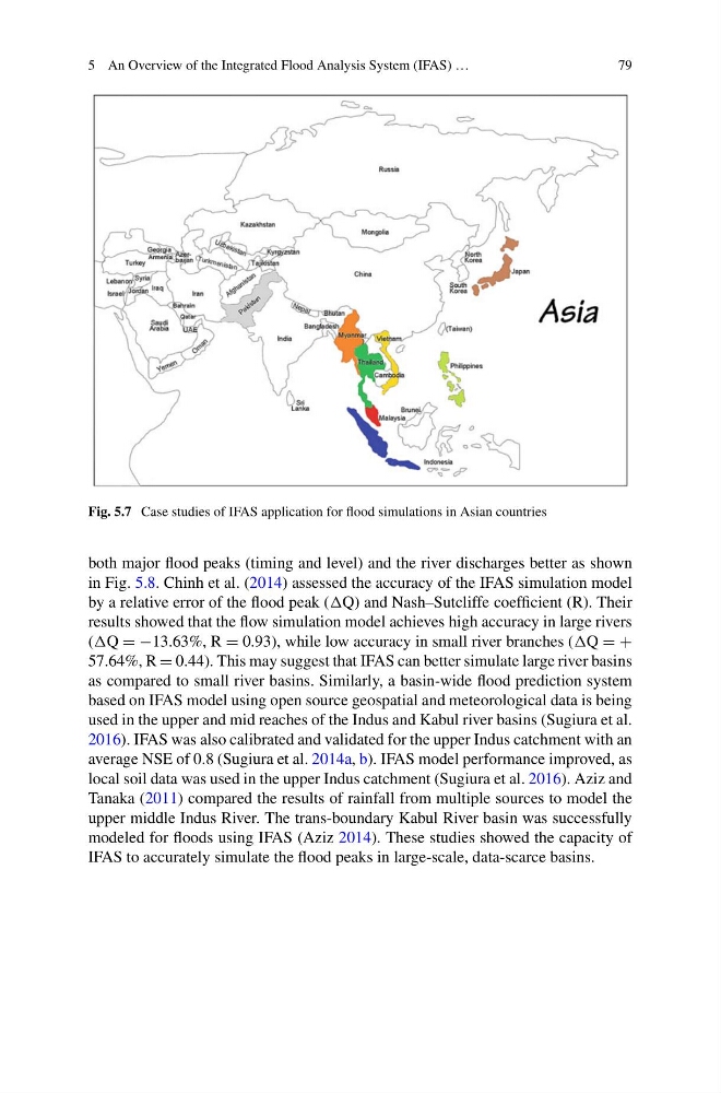
Fig. 5.7 Case studies of IFAS application for flood simulations in Asian countries
both major flood peaks (timing and level) and the river discharges better as shown
in Fig. 5.8. Chinh et al. (2014) assessed the accuracy of the IFAS simulation model
by a relative error of the flood peak (Q) and Nash–Sutcliffe coefficient (R). Their
results showed that the flow simulation model achieves high accuracy in large rivers
(Q = −13.63%, R = 0.93), while low accuracy in small river branches (Q = +
57.64%, R = 0.44). This may suggest that IFAS can better simulate large river basins
as compared to small river basins. Similarly, a basin-wide flood prediction system
based on IFAS model using open source geospatial and meteorological data is being
used in the upper and mid reaches of the Indus and Kabul river basins (Sugiura et al.
2016). IFAS was also calibrated and validated for the upper Indus catchment with an
average NSE of 0.8 (Sugiura et al. 2014a, b). IFAS model performance improved, as
local soil data was used in the upper Indus catchment (Sugiura et al. 2016). Aziz and
Tanaka (2011) compared the results of rainfall from multiple sources to model the
upper middle Indus River. The trans-boundary Kabul River basin was successfully
modeled for floods using IFAS (Aziz 2014). These studies showed the capacity of
IFAS to accurately simulate the flood peaks in large-scale, data-scarce basins.
79
Fig. 5.7 Case studies of IFAS application for flood simulations in Asian countries
both major flood peaks (timing and level) and the river discharges better as shown
in Fig. 5.8. Chinh et al. (2014) assessed the accuracy of the IFAS simulation model
by a relative error of the flood peak (Q) and Nash–Sutcliffe coefficient (R). Their
results showed that the flow simulation model achieves high accuracy in large rivers
(Q = −13.63%, R = 0.93), while low accuracy in small river branches (Q = +
57.64%, R = 0.44). This may suggest that IFAS can better simulate large river basins
as compared to small river basins. Similarly, a basin-wide flood prediction system
based on IFAS model using open source geospatial and meteorological data is being
used in the upper and mid reaches of the Indus and Kabul river basins (Sugiura et al.
2016). IFAS was also calibrated and validated for the upper Indus catchment with an
average NSE of 0.8 (Sugiura et al. 2014a, b). IFAS model performance improved, as
local soil data was used in the upper Indus catchment (Sugiura et al. 2016). Aziz and
Tanaka (2011) compared the results of rainfall from multiple sources to model the
upper middle Indus River. The trans-boundary Kabul River basin was successfully
modeled for floods using IFAS (Aziz 2014). These studies showed the capacity of
IFAS to accurately simulate the flood peaks in large-scale, data-scarce basins.