

Simulation of Runoff for Subarnarekha …
163
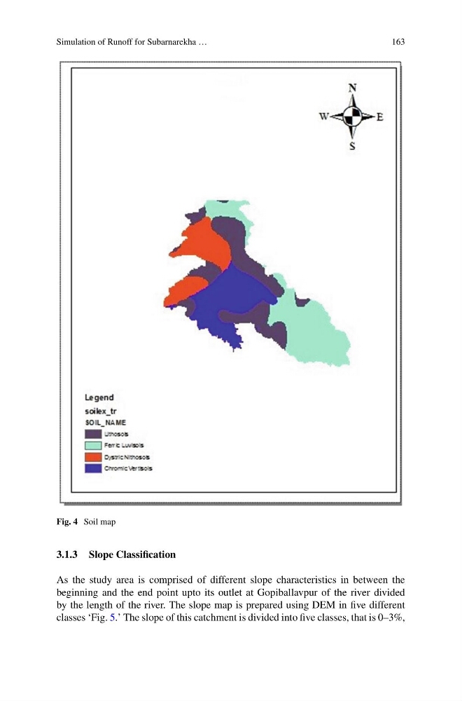
Fig. 4 Soil map
3.1.3 Slope Classification
As the study area is comprised of different slope characteristics in between the
beginning and the end point upto its outlet at Gopiballavpur of the river divided
by the length of the river. The slope map is prepared using DEM in five different
classes ‘Fig. 5.’ The slope of this catchment is divided into five classes, that is 0–3%,
163
Fig. 4 Soil map
3.1.3 Slope Classification
As the study area is comprised of different slope characteristics in between the
beginning and the end point upto its outlet at Gopiballavpur of the river divided
by the length of the river. The slope map is prepared using DEM in five different
classes ‘Fig. 5.’ The slope of this catchment is divided into five classes, that is 0–3%,