

Simulation of Runoff for Subarnarekha …
159
the Chotanagpur plateau, Baitarani river catchment, Kangsabati river catchment and
the Bay of Bengal. A part of Subarnarekha basin has been chosen for the present
study covering its gauging station of Gopiballavpur, located in the West Midnapur
District of West Bengal. The gauging station at Gopiballavpur has been considered
as the outlet of the catchment area. The total extent of the catchment under study
covers 11,394.152 km
2 area which ranges from longitude 85° 31
to 87° 22
E and
from latitude 22° 7
to 23° 28
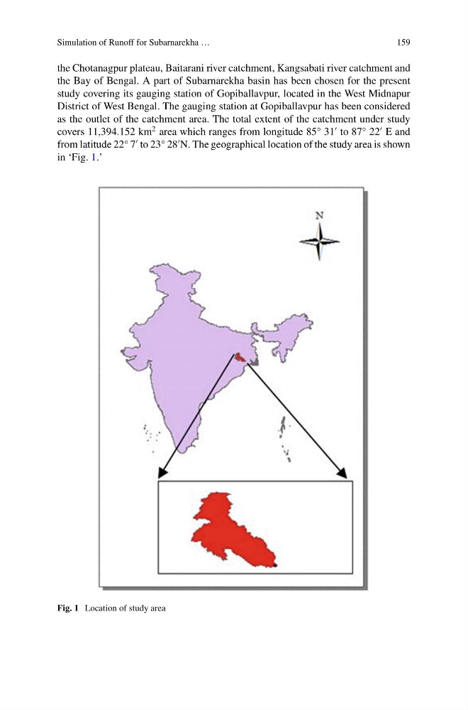
N. The geographical location of the study area is shown
in ‘Fig. 1.’
Fig. 1 Location of study area
159
the Chotanagpur plateau, Baitarani river catchment, Kangsabati river catchment and
the Bay of Bengal. A part of Subarnarekha basin has been chosen for the present
study covering its gauging station of Gopiballavpur, located in the West Midnapur
District of West Bengal. The gauging station at Gopiballavpur has been considered
as the outlet of the catchment area. The total extent of the catchment under study
covers 11,394.152 km
2 area which ranges from longitude 85° 31
to 87° 22
E and
from latitude 22° 7
to 23° 28
N. The geographical location of the study area is shown
in ‘Fig. 1.’
Fig. 1 Location of study area