

8 Cumulative Impacts of Climate Change Variability …
177
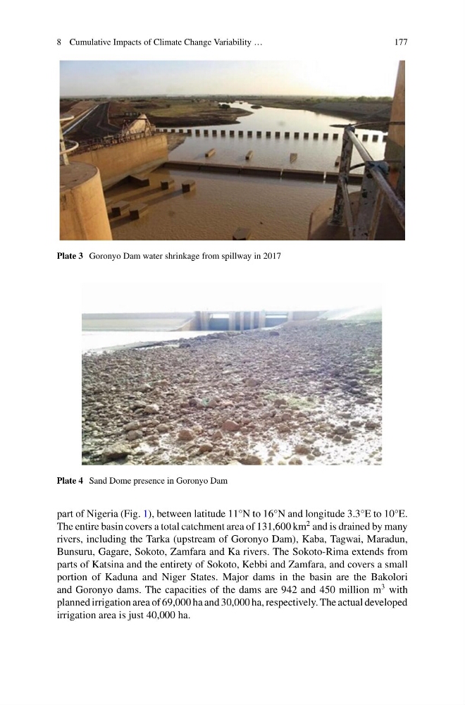
Plate 3 Goronyo Dam water shrinkage from spillway in 2017
Plate 4 Sand Dome presence in Goronyo Dam
part of Nigeria (Fig. 1), between latitude 11°N to 16°N and longitude 3.3°E to 10°E.
The entire basin covers a total catchment area of 131,600 km
2 and is drained by many
rivers, including the Tarka (upstream of Goronyo Dam), Kaba, Tagwai, Maradun,
Bunsuru, Gagare, Sokoto, Zamfara and Ka rivers. The Sokoto-Rima extends from
parts of Katsina and the entirety of Sokoto, Kebbi and Zamfara, and covers a small
portion of Kaduna and Niger States. Major dams in the basin are the Bakolori
and Goronyo dams. The capacities of the dams are 942 and 450 million m
3 with
planned irrigation area of 69,000 ha and 30,000 ha, respectively. The actual developed
irrigation area is just 40,000 ha.
177
Plate 3 Goronyo Dam water shrinkage from spillway in 2017
Plate 4 Sand Dome presence in Goronyo Dam
part of Nigeria (Fig. 1), between latitude 11°N to 16°N and longitude 3.3°E to 10°E.
The entire basin covers a total catchment area of 131,600 km
2 and is drained by many
rivers, including the Tarka (upstream of Goronyo Dam), Kaba, Tagwai, Maradun,
Bunsuru, Gagare, Sokoto, Zamfara and Ka rivers. The Sokoto-Rima extends from
parts of Katsina and the entirety of Sokoto, Kebbi and Zamfara, and covers a small
portion of Kaduna and Niger States. Major dams in the basin are the Bakolori
and Goronyo dams. The capacities of the dams are 942 and 450 million m
3 with
planned irrigation area of 69,000 ha and 30,000 ha, respectively. The actual developed
irrigation area is just 40,000 ha.