

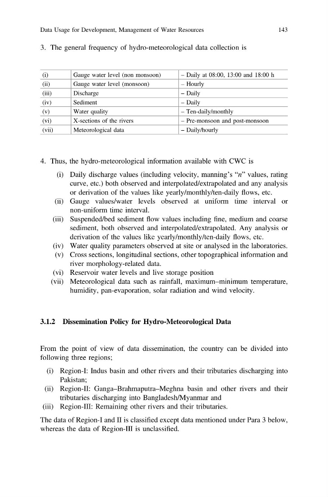
3. The general frequency of hydro-meteorological data collection is
(i)
Gauge water level (non monsoon)
– Daily at 08:00, 13:00 and 18:00 h
(ii)
Gauge water level (monsoon)
– Hourly
(iii)
Discharge
– Daily
(iv)
Sediment
– Daily
(v)
Water quality
– Ten-daily/monthly
(vi)
X-sections of the rivers
– Pre-monsoon and post-monsoon
(vii)
Meteorological data
– Daily/hourly
4. Thus, the hydro-meteorological information available with CWC is
(i) Daily discharge values (including velocity, manning’s “n” values, rating
curve, etc.) both observed and interpolated/extrapolated and any analysis
or derivation of the values like yearly/monthly/ten-daily flows, etc.
(ii) Gauge values/water levels observed at uniform time interval or
non-uniform time interval.
(iii) Suspended/bed sediment flow values including fine, medium and coarse
sediment, both observed and interpolated/extrapolated. Any analysis or
derivation of the values like yearly/monthly/ten-daily flows, etc.
(iv) Water quality parameters observed at site or analysed in the laboratories.
(v) Cross sections, longitudinal sections, other topographical information and
river morphology-related data.
(vi) Reservoir water levels and live storage position
(vii) Meteorological data such as rainfall, maximum–minimum temperature,
humidity, pan-evaporation, solar radiation and wind velocity.
3.1.2 Dissemination Policy for Hydro-Meteorological Data
From the point of view of data dissemination, the country can be divided into
following three regions;
(i) Region-I: Indus basin and other rivers and their tributaries discharging into
Pakistan;
(ii) Region-II: Ganga–Brahmaputra–Meghna basin and other rivers and their
tributaries discharging into Bangladesh/Myanmar and
(iii) Region-III: Remaining other rivers and their tributaries.
The data of Region-I and II is classified except data mentioned under Para 3 below,
whereas the data of Region-III is unclassified.
Data Usage for Development, Management of Water Resources
143
(i)
Gauge water level (non monsoon)
– Daily at 08:00, 13:00 and 18:00 h
(ii)
Gauge water level (monsoon)
– Hourly
(iii)
Discharge
– Daily
(iv)
Sediment
– Daily
(v)
Water quality
– Ten-daily/monthly
(vi)
X-sections of the rivers
– Pre-monsoon and post-monsoon
(vii)
Meteorological data
– Daily/hourly
4. Thus, the hydro-meteorological information available with CWC is
(i) Daily discharge values (including velocity, manning’s “n” values, rating
curve, etc.) both observed and interpolated/extrapolated and any analysis
or derivation of the values like yearly/monthly/ten-daily flows, etc.
(ii) Gauge values/water levels observed at uniform time interval or
non-uniform time interval.
(iii) Suspended/bed sediment flow values including fine, medium and coarse
sediment, both observed and interpolated/extrapolated. Any analysis or
derivation of the values like yearly/monthly/ten-daily flows, etc.
(iv) Water quality parameters observed at site or analysed in the laboratories.
(v) Cross sections, longitudinal sections, other topographical information and
river morphology-related data.
(vi) Reservoir water levels and live storage position
(vii) Meteorological data such as rainfall, maximum–minimum temperature,
humidity, pan-evaporation, solar radiation and wind velocity.
3.1.2 Dissemination Policy for Hydro-Meteorological Data
From the point of view of data dissemination, the country can be divided into
following three regions;
(i) Region-I: Indus basin and other rivers and their tributaries discharging into
Pakistan;
(ii) Region-II: Ganga–Brahmaputra–Meghna basin and other rivers and their
tributaries discharging into Bangladesh/Myanmar and
(iii) Region-III: Remaining other rivers and their tributaries.
The data of Region-I and II is classified except data mentioned under Para 3 below,
whereas the data of Region-III is unclassified.
Data Usage for Development, Management of Water Resources
143