

302
post-monsoon period. Earlier these areas were covered by forests, but the unrestricted clearance of forested areas has converted the land into sterile and barren wastes.
In the southern sides of the stream, a small patch of stony wastes is there which
covers the area of approximately 21.51 ha, i.e. 6.05% of total geographical area.
These are mainly the hard lateritic rock exposure, most of which has been quarried
for laterite excavation. This is mainly the exhumed rocky surface area formed by
sandstone which is situated at the pediment of Chotanagpur Plateau region with a
small hillock of 166 m elevation in the northern part (Toposheet, 73 M/I), just outside the border of West Bengal. This area is surrounded by uplands without scrub in
the adjacent areas. Another tract of without scrub areas is lying along the northwestern boundary of the block. Undulating surface topography and lack of alternative source of irrigation facilities (apart from small ponds/tanks), the vast area has
remained uncultivated for a long time and gradually transformed into the wasteland.
17.7.4 Type 4: Sandy Area-Riverine – Simjuri Village
As per physiographic divisions of NBSS & LUP, the north-eastern part of the sample site belongs to valley, while the rest other portion are lying under the floodplain.
In fact the area is situated in interfluves; in the northern side, it is bordered by
Hinglow River, while the River Ajay is just 3.5 km in the southern side. Naturally,
the area is well drained by two important rivers of the whole study area. The surface
elevation of the area ranges from 60 to 80 m from the mean sea level.
The site has been preferred for sample study due to the presence of special type
of wasteland, i.e. sandy area, formed by alluvial deposits of River Hinglow. The
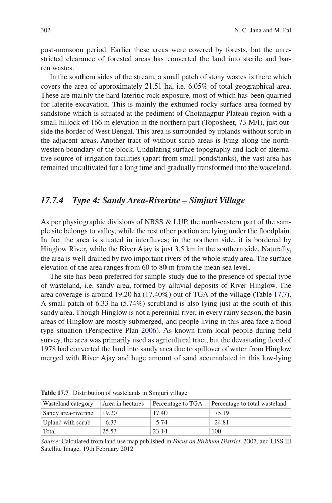
area coverage is around 19.20 ha (17.40%) out of TGA of the village (Table 17.7).
A small patch of 6.33 ha (5.74%) scrubland is also lying just at the south of this
sandy area. Though Hinglow is not a perennial river, in every rainy season, the basin
areas of Hinglow are mostly submerged, and people living in this area face a flood
type situation (Perspective Plan 2006). As known from local people during field
survey, the area was primarily used as agricultural tract, but the devastating flood of
1978 had converted the land into sandy area due to spillover of water from Hinglow
merged with River Ajay and huge amount of sand accumulated in this low-lying
Table 17.7 Distribution of wastelands in Simjuri village
Wasteland category Area in hectares Percentage to TGA Percentage to total wasteland
Sandy area-riverine 19.20
17.40
75.19
Upland with scrub
6.33
5.74
24.81
Total
25.53
23.14
100
Source: Calculated from land use map published in Focus on Birbhum District, 2007, and LISS III
Satellite Image, 19th February 2012
N. C. Jana and M. Pal
post-monsoon period. Earlier these areas were covered by forests, but the unrestricted clearance of forested areas has converted the land into sterile and barren wastes.
In the southern sides of the stream, a small patch of stony wastes is there which
covers the area of approximately 21.51 ha, i.e. 6.05% of total geographical area.
These are mainly the hard lateritic rock exposure, most of which has been quarried
for laterite excavation. This is mainly the exhumed rocky surface area formed by
sandstone which is situated at the pediment of Chotanagpur Plateau region with a
small hillock of 166 m elevation in the northern part (Toposheet, 73 M/I), just outside the border of West Bengal. This area is surrounded by uplands without scrub in
the adjacent areas. Another tract of without scrub areas is lying along the northwestern boundary of the block. Undulating surface topography and lack of alternative source of irrigation facilities (apart from small ponds/tanks), the vast area has
remained uncultivated for a long time and gradually transformed into the wasteland.
17.7.4 Type 4: Sandy Area-Riverine – Simjuri Village
As per physiographic divisions of NBSS & LUP, the north-eastern part of the sample site belongs to valley, while the rest other portion are lying under the floodplain.
In fact the area is situated in interfluves; in the northern side, it is bordered by
Hinglow River, while the River Ajay is just 3.5 km in the southern side. Naturally,
the area is well drained by two important rivers of the whole study area. The surface
elevation of the area ranges from 60 to 80 m from the mean sea level.
The site has been preferred for sample study due to the presence of special type
of wasteland, i.e. sandy area, formed by alluvial deposits of River Hinglow. The
area coverage is around 19.20 ha (17.40%) out of TGA of the village (Table 17.7).
A small patch of 6.33 ha (5.74%) scrubland is also lying just at the south of this
sandy area. Though Hinglow is not a perennial river, in every rainy season, the basin
areas of Hinglow are mostly submerged, and people living in this area face a flood
type situation (Perspective Plan 2006). As known from local people during field
survey, the area was primarily used as agricultural tract, but the devastating flood of
1978 had converted the land into sandy area due to spillover of water from Hinglow
merged with River Ajay and huge amount of sand accumulated in this low-lying
Table 17.7 Distribution of wastelands in Simjuri village
Wasteland category Area in hectares Percentage to TGA Percentage to total wasteland
Sandy area-riverine 19.20
17.40
75.19
Upland with scrub
6.33
5.74
24.81
Total
25.53
23.14
100
Source: Calculated from land use map published in Focus on Birbhum District, 2007, and LISS III
Satellite Image, 19th February 2012
N. C. Jana and M. Pal