

occurring in the southern Great Lakes region. The most
recent soil map (Web Soil Survey 2019) of the Superior area
shows more than 30 soil series. Udipsamments are shown on
the bay-mouth bar; the Miskoaki, Bergland, Cuttre, and
Amnicon soil series (Glossudalfs and Glossaqualfs) on the
clayey till and lake plain depicted in green; and the
Keweenaw and associated soil series on the disintegration
moraine shown in pink to the south.
A soil map of the Saginaw Bay area was published by
McLendon and Carter in 1904 and represents the first map of
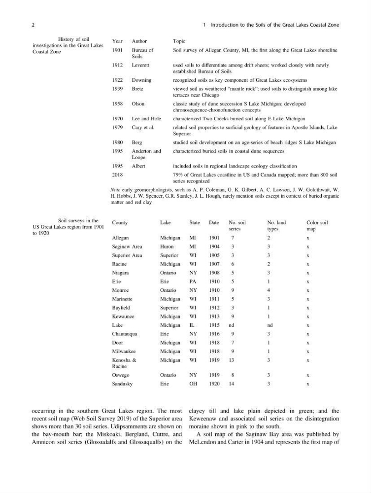
Table 1.1 History of soil
investigations in the Great Lakes
Coastal Zone
Year
Author
Topic
1901
Bureau of
Soils
Soil survey of Allegan County, MI, the first along the Great Lakes shoreline
1912
Leverett
used soils to differentiate among drift sheets; worked closely with newly
established Bureau of Soils
1922
Downing
recognized soils as key component of Great Lakes ecosystems
1939
Bretz
viewed soil as weathered “mantle rock”; used soils to distinguish among lake
terraces near Chicago
1958
Olson
classic study of dune succession S Lake Michigan; developed
chronosequence-chronofunction concepts
1970
Lee and Hole
characterized Two Creeks buried soil along E Lake Michigan
1979
Cary et al.
related soil properties to surficial geology of features in Apostle Islands, Lake
Superior
1980
Berg
studied soil development on an age-series of beach ridges S Lake Michigan
1995
Anderton and
Loope
characterized buried soils in coastal dune sequences
1995
Albert
included soils in regional landscape ecology classification
2018
79% of Great Lakes coastline in US and Canada mapped; more than 800 soil
series recognized
Note early geomorphologists, such as A. P. Coleman, G. K. Gilbert, A. C. Lawson, J. W. Goldthwait, W.
H. Hobbs, J. W. Spencer, G.R. Stanley, J. L. Hough, rarely mention soils except in context of buried organic
matter and red clay
Table 1.2 Soil surveys in the
US Great Lakes region from 1901
to 1920
County
Lake
State
Date
No. soil
series
No. land
types
Color soil
map
Allegan
Michigan
MI
1901
7
2
x
Saginaw Area
Huron
MI
1904
3
3
x
Superior Area
Superior
WI
1905
3
3
x
Racine
Michigan
WI
1907
6
2
x
Niagara
Ontario
NY
1908
5
3
x
Erie
Erie
PA
1910
5
1
x
Monroe
Ontario
NY
1910
9
4
x
Marinette
Michigan
WI
1911
5
3
x
Bayfield
Superior
WI
1912
3
1
x
Kewaunee
Michigan
WI
1913
9
1
x
Lake
Michigan
IL
1915
nd
nd
x
Chautauqua
Erie
NY
1916
9
3
x
Door
Michigan
WI
1918
7
1
x
Milwaukee
Michigan
WI
1918
9
1
x
Kenosha &
Racine
Michigan
WI
1919
13
3
x
Oswego
Ontario
NY
1919
8
3
x
Sandusky
Erie
OH
1920
14
3
x
2
1 Introduction to the Soils of the Great Lakes Coastal Zone
recent soil map (Web Soil Survey 2019) of the Superior area
shows more than 30 soil series. Udipsamments are shown on
the bay-mouth bar; the Miskoaki, Bergland, Cuttre, and
Amnicon soil series (Glossudalfs and Glossaqualfs) on the
clayey till and lake plain depicted in green; and the
Keweenaw and associated soil series on the disintegration
moraine shown in pink to the south.
A soil map of the Saginaw Bay area was published by
McLendon and Carter in 1904 and represents the first map of
Table 1.1 History of soil
investigations in the Great Lakes
Coastal Zone
Year
Author
Topic
1901
Bureau of
Soils
Soil survey of Allegan County, MI, the first along the Great Lakes shoreline
1912
Leverett
used soils to differentiate among drift sheets; worked closely with newly
established Bureau of Soils
1922
Downing
recognized soils as key component of Great Lakes ecosystems
1939
Bretz
viewed soil as weathered “mantle rock”; used soils to distinguish among lake
terraces near Chicago
1958
Olson
classic study of dune succession S Lake Michigan; developed
chronosequence-chronofunction concepts
1970
Lee and Hole
characterized Two Creeks buried soil along E Lake Michigan
1979
Cary et al.
related soil properties to surficial geology of features in Apostle Islands, Lake
Superior
1980
Berg
studied soil development on an age-series of beach ridges S Lake Michigan
1995
Anderton and
Loope
characterized buried soils in coastal dune sequences
1995
Albert
included soils in regional landscape ecology classification
2018
79% of Great Lakes coastline in US and Canada mapped; more than 800 soil
series recognized
Note early geomorphologists, such as A. P. Coleman, G. K. Gilbert, A. C. Lawson, J. W. Goldthwait, W.
H. Hobbs, J. W. Spencer, G.R. Stanley, J. L. Hough, rarely mention soils except in context of buried organic
matter and red clay
Table 1.2 Soil surveys in the
US Great Lakes region from 1901
to 1920
County
Lake
State
Date
No. soil
series
No. land
types
Color soil
map
Allegan
Michigan
MI
1901
7
2
x
Saginaw Area
Huron
MI
1904
3
3
x
Superior Area
Superior
WI
1905
3
3
x
Racine
Michigan
WI
1907
6
2
x
Niagara
Ontario
NY
1908
5
3
x
Erie
Erie
PA
1910
5
1
x
Monroe
Ontario
NY
1910
9
4
x
Marinette
Michigan
WI
1911
5
3
x
Bayfield
Superior
WI
1912
3
1
x
Kewaunee
Michigan
WI
1913
9
1
x
Lake
Michigan
IL
1915
nd
nd
x
Chautauqua
Erie
NY
1916
9
3
x
Door
Michigan
WI
1918
7
1
x
Milwaukee
Michigan
WI
1918
9
1
x
Kenosha &
Racine
Michigan
WI
1919
13
3
x
Oswego
Ontario
NY
1919
8
3
x
Sandusky
Erie
OH
1920
14
3
x
2
1 Introduction to the Soils of the Great Lakes Coastal Zone