

37
used these coastal winds to make North Carolina the “first in flight” when they
successfully completed a controlled and sustained flight at Kitty Hawk (Fig. 3.1) in
1903. The highest rates of relative sea-level rise over the past ~20 years (~15 mm/
yr) occurred in the tropical western Pacific Ocean because intensification of the
prevailing trade winds keeps water piled up even as gravity tries to correct this distortion of the sea surface. If and when those trade winds relax, the water that they
currently hold in place will flow away from the western Pacific Ocean and that
process would contribute to a relative sea-level fall in that region.
North Carolina is no stranger to hurricanes and tropical storms, which can raise
coastal relative sea level for a period of several hours to a couple of days by forcing
(and then holding) water into the sounds behind the Outer Banks (Fig. 3.1). This
specific change in relative sea level is called a storm surge and its impacts on coastal
populations and infrastructure are worsened if the surge arrives on top of a high
(rather than low) tide and brings large waves. A common misconception is that the
low atmospheric pressure of a hurricane allows the sea surface to rise. While this
so-called inverse barometer effect does occur, its magnitude is small compared to
the effect of water being pushed onto the coast by winds. Two events in 2018 provide illustrative examples of how winds can briefly, but dramatically change sea
levels in North Carolina (Fig. 3.3c). In September 2018, Hurricane Florence brought
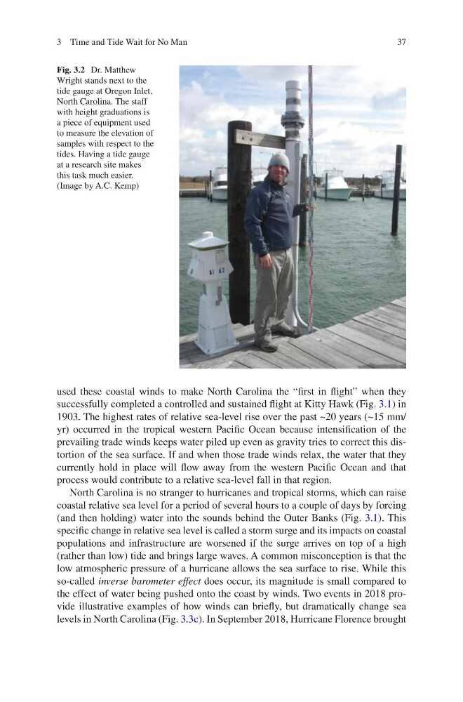
Fig. 3.2 Dr. Matthew
Wright stands next to the
tide gauge at Oregon Inlet,
North Carolina. The staff
with height graduations is
a piece of equipment used
to measure the elevation of
samples with respect to the
tides. Having a tide gauge
at a research site makes
this task much easier.
(Image by A.C. Kemp)
3 Time and Tide Wait for No Man
used these coastal winds to make North Carolina the “first in flight” when they
successfully completed a controlled and sustained flight at Kitty Hawk (Fig. 3.1) in
1903. The highest rates of relative sea-level rise over the past ~20 years (~15 mm/
yr) occurred in the tropical western Pacific Ocean because intensification of the
prevailing trade winds keeps water piled up even as gravity tries to correct this distortion of the sea surface. If and when those trade winds relax, the water that they
currently hold in place will flow away from the western Pacific Ocean and that
process would contribute to a relative sea-level fall in that region.
North Carolina is no stranger to hurricanes and tropical storms, which can raise
coastal relative sea level for a period of several hours to a couple of days by forcing
(and then holding) water into the sounds behind the Outer Banks (Fig. 3.1). This
specific change in relative sea level is called a storm surge and its impacts on coastal
populations and infrastructure are worsened if the surge arrives on top of a high
(rather than low) tide and brings large waves. A common misconception is that the
low atmospheric pressure of a hurricane allows the sea surface to rise. While this
so-called inverse barometer effect does occur, its magnitude is small compared to
the effect of water being pushed onto the coast by winds. Two events in 2018 provide illustrative examples of how winds can briefly, but dramatically change sea
levels in North Carolina (Fig. 3.3c). In September 2018, Hurricane Florence brought
Fig. 3.2 Dr. Matthew
Wright stands next to the
tide gauge at Oregon Inlet,
North Carolina. The staff
with height graduations is
a piece of equipment used
to measure the elevation of
samples with respect to the
tides. Having a tide gauge
at a research site makes
this task much easier.
(Image by A.C. Kemp)
3 Time and Tide Wait for No Man