

19
understanding future environmental changes. We know that the salinity and energy
(waves, currents, tides) varied greatly within Pamlico Sound in the past. One thousand years ago, and as recently as 500 years ago, conditions were very different than
today. And we know that these changes must be related to what was happening to
the Outer Banks barrier islands, so we want to know what the islands looked like in
the past, where the inlets were, how many there were, when were they active, and,
perhaps most important, how the changes relate to climate and sea-level changes in
the past. We know that inlets opened and closed in numerous places throughout history. As mentioned before, there are maps that go back to 1585 AD, created by John
White, that demonstrate where some of these inlets were, and how the barrier islands
have changed since then. But we also want to know what was going on one thousand
years ago, before there were any maps. To do this, we need to look at the geology.
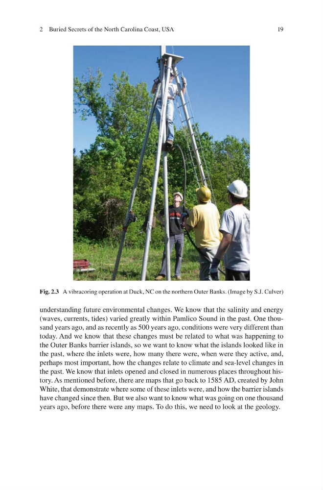
Fig. 2.3 A vibracoring operation at Duck, NC on the northern Outer Banks. (Image by S.J. Culver)
2 Buried Secrets of the North Carolina Coast, USA
understanding future environmental changes. We know that the salinity and energy
(waves, currents, tides) varied greatly within Pamlico Sound in the past. One thousand years ago, and as recently as 500 years ago, conditions were very different than
today. And we know that these changes must be related to what was happening to
the Outer Banks barrier islands, so we want to know what the islands looked like in
the past, where the inlets were, how many there were, when were they active, and,
perhaps most important, how the changes relate to climate and sea-level changes in
the past. We know that inlets opened and closed in numerous places throughout history. As mentioned before, there are maps that go back to 1585 AD, created by John
White, that demonstrate where some of these inlets were, and how the barrier islands
have changed since then. But we also want to know what was going on one thousand
years ago, before there were any maps. To do this, we need to look at the geology.
Fig. 2.3 A vibracoring operation at Duck, NC on the northern Outer Banks. (Image by S.J. Culver)
2 Buried Secrets of the North Carolina Coast, USA