

133
the total number of bear sightings at the reserve was only two! We quickly proceeded to the last well sites where I collected my valuable data and then started back
to the truck and trailer.
By the time that we got back to the truck, it was dark. With data from the groundwater wells in hand, we loaded the ATV into the trailer, and started off back to
Greenville. Katie was very glad we were in the truck heading back to civilization. I
was just glad we got to collect all the data that we needed for us to test the hypotheses for this particular study.
Back to Tale 2
The results of our study confirmed our original hypothesis that the driver of saline
water into the wetlands of the Emily and Richardson Preyer Coastal Buckridge
Reserve was wind tides, and indicated that the source of the saltwater intrusion was
the large constructed canal. Subsequent study identified the Pamlico Sound as the
main source of the saltwater. Since the region is protected from the ocean by almost
uninterrupted barrier islands, astronomical tides have little influence on the daily
water fluctuations in the region. Thus, wind tides were the major drivers of saltwater
in the region. So, when the wind blows hard from the south, saltwater from the
Pamlico Sound is pushed up the Pamlico River, through the Pungo River, along the
Alligator-Pungo River canal, and ultimately to the Alligator River where any adjoining canals are overrun by saltwater. These are complicated processes that threaten
agriculture in low-lying fields of the Inner Banks.
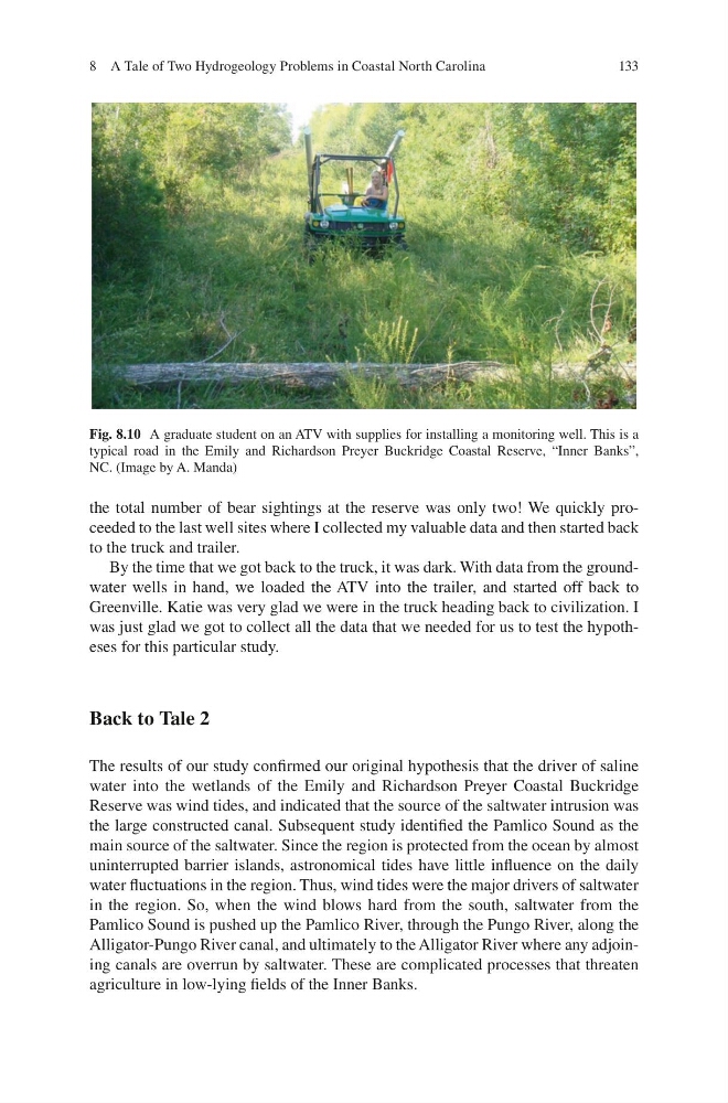
Fig. 8.10 A graduate student on an ATV with supplies for installing a monitoring well. This is a
typical road in the Emily and Richardson Preyer Buckridge Coastal Reserve, “Inner Banks”,
NC. (Image by A. Manda)
8 A Tale of Two Hydrogeology Problems in Coastal North Carolina
the total number of bear sightings at the reserve was only two! We quickly proceeded to the last well sites where I collected my valuable data and then started back
to the truck and trailer.
By the time that we got back to the truck, it was dark. With data from the groundwater wells in hand, we loaded the ATV into the trailer, and started off back to
Greenville. Katie was very glad we were in the truck heading back to civilization. I
was just glad we got to collect all the data that we needed for us to test the hypotheses for this particular study.
Back to Tale 2
The results of our study confirmed our original hypothesis that the driver of saline
water into the wetlands of the Emily and Richardson Preyer Coastal Buckridge
Reserve was wind tides, and indicated that the source of the saltwater intrusion was
the large constructed canal. Subsequent study identified the Pamlico Sound as the
main source of the saltwater. Since the region is protected from the ocean by almost
uninterrupted barrier islands, astronomical tides have little influence on the daily
water fluctuations in the region. Thus, wind tides were the major drivers of saltwater
in the region. So, when the wind blows hard from the south, saltwater from the
Pamlico Sound is pushed up the Pamlico River, through the Pungo River, along the
Alligator-Pungo River canal, and ultimately to the Alligator River where any adjoining canals are overrun by saltwater. These are complicated processes that threaten
agriculture in low-lying fields of the Inner Banks.
Fig. 8.10 A graduate student on an ATV with supplies for installing a monitoring well. This is a
typical road in the Emily and Richardson Preyer Buckridge Coastal Reserve, “Inner Banks”,
NC. (Image by A. Manda)
8 A Tale of Two Hydrogeology Problems in Coastal North Carolina