

4.2.3 Hydrologic and Hydraulic Modeling
Distributed watershed models are commonly used to investigate water resources
issues. The watershed models require watershed and subbasin geometric properties,
configuration of the stream network, basin and stream slope, stream length and
slope, land use, and soil type information. Traditionally, these parameters were
derived from paper maps or field surveys. Recently, this information has been
derived directly from digital representations of the topography [41–43] using
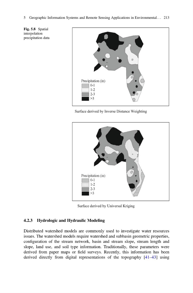
Surface derived by Inverse Distance Weighting
Surface derived by Universal Kriging
Fig. 5.8 Spatial
interpolation
precipitation data
5 Geographic Information Systems and Remote Sensing Applications in Environmental. . . 213
Distributed watershed models are commonly used to investigate water resources
issues. The watershed models require watershed and subbasin geometric properties,
configuration of the stream network, basin and stream slope, stream length and
slope, land use, and soil type information. Traditionally, these parameters were
derived from paper maps or field surveys. Recently, this information has been
derived directly from digital representations of the topography [41–43] using
Surface derived by Inverse Distance Weighting
Surface derived by Universal Kriging
Fig. 5.8 Spatial
interpolation
precipitation data
5 Geographic Information Systems and Remote Sensing Applications in Environmental. . . 213