

and 1 leachate sample. Samples collected from the vicinity of the landfill boundary
included 10 undisturbed natural soil samples, 5 disturbed soil samples, 1 soil
environmental background sample, and 2 groundwater samples. The basic conditions and sampling information of exploration holes and monitoring wells are
shown in Tables 5.80 and 5.81.
② Strata distribution conditions of landfill site and surrounding areas
Within the maximum exploration depth (22.50 m) at the landfill site and the surrounding area within the investigation scope, the formation is divided into major
layers according to composition and genesis, i.e., the artificial deposit layer and the
Quaternary sedimentary layer. The lithology, roof elevation and permeability
coefficient of each layer are shown in Table 5.82. Other physical property indicators are shown in Table 5.83.
③ Groundwater distribution conditions of the surrounding area
There are mainly 3 layers of groundwater within 22.50 m depth range under the
surface of the landfill site and the surrounding areas. According to the distribution
of waste and soil revealed by the investigation, wells were built in regard of the 1st
layer of groundwater considering its close hydraulic correlation with the waste pile.
The groundwater distribution conditions of each layer are as described below.
a. The 1st layer of groundwater
The 1st layer of groundwater occurs in fine sand layer ②, medium sand layer ② 1
and silty sand ② 3 below the elevation of 15.95–18.16 m and above 11.80–
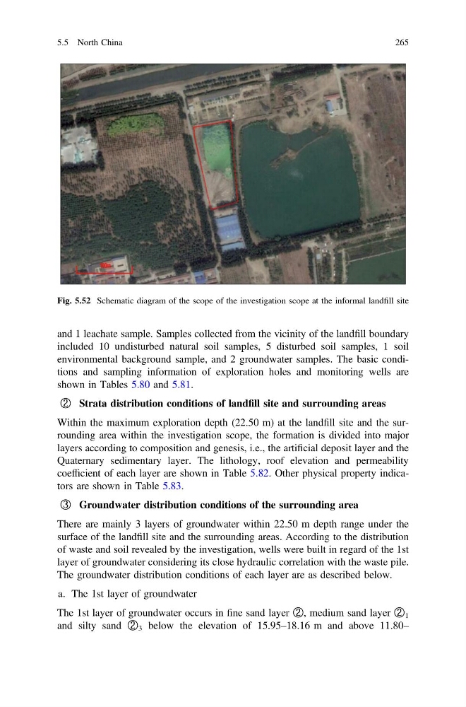
Fig. 5.52 Schematic diagram of the scope of the investigation scope at the informal landfill site
5.5 North China
265
included 10 undisturbed natural soil samples, 5 disturbed soil samples, 1 soil
environmental background sample, and 2 groundwater samples. The basic conditions and sampling information of exploration holes and monitoring wells are
shown in Tables 5.80 and 5.81.
② Strata distribution conditions of landfill site and surrounding areas
Within the maximum exploration depth (22.50 m) at the landfill site and the surrounding area within the investigation scope, the formation is divided into major
layers according to composition and genesis, i.e., the artificial deposit layer and the
Quaternary sedimentary layer. The lithology, roof elevation and permeability
coefficient of each layer are shown in Table 5.82. Other physical property indicators are shown in Table 5.83.
③ Groundwater distribution conditions of the surrounding area
There are mainly 3 layers of groundwater within 22.50 m depth range under the
surface of the landfill site and the surrounding areas. According to the distribution
of waste and soil revealed by the investigation, wells were built in regard of the 1st
layer of groundwater considering its close hydraulic correlation with the waste pile.
The groundwater distribution conditions of each layer are as described below.
a. The 1st layer of groundwater
The 1st layer of groundwater occurs in fine sand layer ②, medium sand layer ② 1
and silty sand ② 3 below the elevation of 15.95–18.16 m and above 11.80–
Fig. 5.52 Schematic diagram of the scope of the investigation scope at the informal landfill site
5.5 North China
265