

436
R. Graf and K. Pyszny
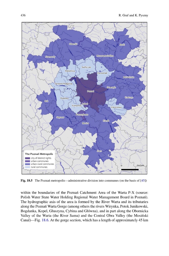
Fig. 18.5 The Pozna´ n metropolis—administrative division into communes (on the basis of [45])
within the boundaries of the Pozna´ n Catchment Area of the Warta P-X (source:
Polish Water State Water Holding Regional Water Management Board in Pozna´ n).
The hydrographic axis of the area is formed by the River Warta and its tributaries
along the Pozna´ n Warta Gorge (among others the rivers Wirynka, Potok Junikowski,
Bogdanka, Kopel, Głuszyna, Cybina and Główna), and in part along the Obornicka
Valley of the Warta (the River Sama) and the Central Obra Valley (the Mosi´ nski
Canal)—Fig. 18.6. At the gorge section, which has a length of approximately 45 km
R. Graf and K. Pyszny
Fig. 18.5 The Pozna´ n metropolis—administrative division into communes (on the basis of [45])
within the boundaries of the Pozna´ n Catchment Area of the Warta P-X (source:
Polish Water State Water Holding Regional Water Management Board in Pozna´ n).
The hydrographic axis of the area is formed by the River Warta and its tributaries
along the Pozna´ n Warta Gorge (among others the rivers Wirynka, Potok Junikowski,
Bogdanka, Kopel, Głuszyna, Cybina and Główna), and in part along the Obornicka
Valley of the Warta (the River Sama) and the Central Obra Valley (the Mosi´ nski
Canal)—Fig. 18.6. At the gorge section, which has a length of approximately 45 km