

266
C. Trifanov et al.
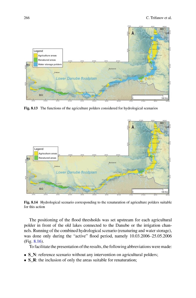
Fig. 8.13 The functions of the agriculture polders considered for hydrological scenarios
Fig. 8.14 Hydrological scenario corresponding to the renaturation of agriculture polders suitable
for this action
The positioning of the flood thresholds was set upstream for each agricultural
polder in front of the old lakes connected to the Danube or the irrigation channels. Running of the combined hydrological scenario (renaturing and water storage),
was done only during the “active” flood period, namely 10.03.2006–25.05.2006
(Fig. 8.16).
To facilitate the presentation of the results, the following abbreviations were made:
• S_N: reference scenario without any intervention on agricultural polders;
• S_R: the inclusion of only the areas suitable for renaturation;
C. Trifanov et al.
Fig. 8.13 The functions of the agriculture polders considered for hydrological scenarios
Fig. 8.14 Hydrological scenario corresponding to the renaturation of agriculture polders suitable
for this action
The positioning of the flood thresholds was set upstream for each agricultural
polder in front of the old lakes connected to the Danube or the irrigation channels. Running of the combined hydrological scenario (renaturing and water storage),
was done only during the “active” flood period, namely 10.03.2006–25.05.2006
(Fig. 8.16).
To facilitate the presentation of the results, the following abbreviations were made:
• S_N: reference scenario without any intervention on agricultural polders;
• S_R: the inclusion of only the areas suitable for renaturation;