

232
I. Minea
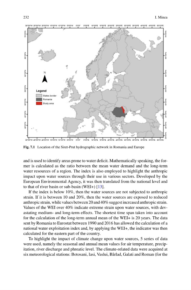
Fig. 7.1 Location of the Siret-Prut hydrographic network in Romania and Europe
and is used to identify areas prone to water deficit. Mathematically speaking, the former is calculated as the ratio between the mean water demand and the long-term
water resources of a region. The index is also employed to highlight the anthropic
impact upon water sources through their use in various sectors. Developed by the
European Environmental Agency, it was then translated from the national level and
to that of river basin or sub-basin (WEI+) [13].
If the index is below 10%, then the water sources are not subjected to anthropic
strain. If it is between 10 and 20%, then the water sources are exposed to reduced
anthropic strain, while values between 20 and 40% suggest increased anthropic strain.
Values of the WEI over 40% indicate extreme strain upon water sources, with devastating medium- and long-term effects. The shortest time span taken into account
for the calculation of the long-term annual mean of the WEI+ is 20 years. The data
sent by Romania to Eurostat between 1990 and 2016 has allowed the calculation of a
national water exploitation index and, by applying the WEI+, the indicator was then
calculated for the eastern part of the country.
To highlight the impact of climate change upon water sources, 5 series of data
were used, namely the seasonal and annual mean values for air temperature, precipitation, river discharge and phreatic level. The climate-related data were acquired at
six meteorological stations: Botosani, Iasi, Vaslui, Bârlad, Galati and Roman (for the
I. Minea
Fig. 7.1 Location of the Siret-Prut hydrographic network in Romania and Europe
and is used to identify areas prone to water deficit. Mathematically speaking, the former is calculated as the ratio between the mean water demand and the long-term
water resources of a region. The index is also employed to highlight the anthropic
impact upon water sources through their use in various sectors. Developed by the
European Environmental Agency, it was then translated from the national level and
to that of river basin or sub-basin (WEI+) [13].
If the index is below 10%, then the water sources are not subjected to anthropic
strain. If it is between 10 and 20%, then the water sources are exposed to reduced
anthropic strain, while values between 20 and 40% suggest increased anthropic strain.
Values of the WEI over 40% indicate extreme strain upon water sources, with devastating medium- and long-term effects. The shortest time span taken into account
for the calculation of the long-term annual mean of the WEI+ is 20 years. The data
sent by Romania to Eurostat between 1990 and 2016 has allowed the calculation of a
national water exploitation index and, by applying the WEI+, the indicator was then
calculated for the eastern part of the country.
To highlight the impact of climate change upon water sources, 5 series of data
were used, namely the seasonal and annual mean values for air temperature, precipitation, river discharge and phreatic level. The climate-related data were acquired at
six meteorological stations: Botosani, Iasi, Vaslui, Bârlad, Galati and Roman (for the