

6 Drinking Water Supply Systems—Evolution Towards Efficiency
209
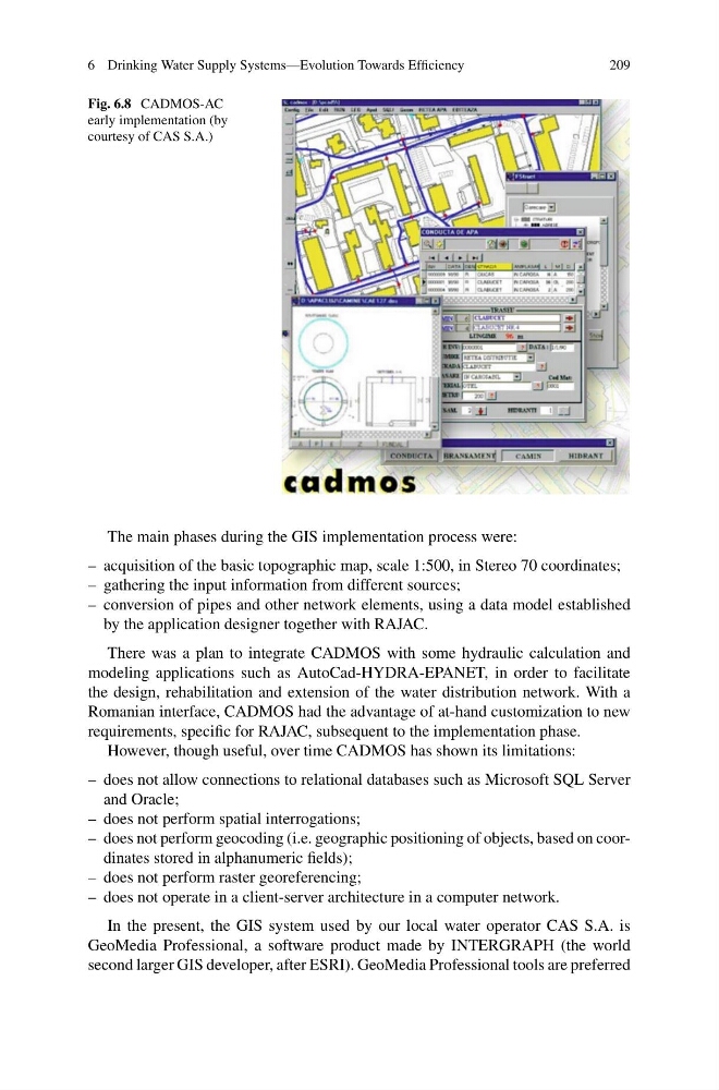
Fig. 6.8 CADMOS-AC
early implementation (by
courtesy of CAS S.A.)
The main phases during the GIS implementation process were:
– acquisition of the basic topographic map, scale 1:500, in Stereo 70 coordinates;
– gathering the input information from different sources;
– conversion of pipes and other network elements, using a data model established
by the application designer together with RAJAC.
There was a plan to integrate CADMOS with some hydraulic calculation and
modeling applications such as AutoCad-HYDRA-EPANET, in order to facilitate
the design, rehabilitation and extension of the water distribution network. With a
Romanian interface, CADMOS had the advantage of at-hand customization to new
requirements, specific for RAJAC, subsequent to the implementation phase.
However, though useful, over time CADMOS has shown its limitations:
– does not allow connections to relational databases such as Microsoft SQL Server
and Oracle;
– does not perform spatial interrogations;
– does not perform geocoding (i.e. geographic positioning of objects, based on coordinates stored in alphanumeric fields);
– does not perform raster georeferencing;
– does not operate in a client-server architecture in a computer network.
In the present, the GIS system used by our local water operator CAS S.A. is
GeoMedia Professional, a software product made by INTERGRAPH (the world
second larger GIS developer, after ESRI). GeoMedia Professional tools are preferred
209
Fig. 6.8 CADMOS-AC
early implementation (by
courtesy of CAS S.A.)
The main phases during the GIS implementation process were:
– acquisition of the basic topographic map, scale 1:500, in Stereo 70 coordinates;
– gathering the input information from different sources;
– conversion of pipes and other network elements, using a data model established
by the application designer together with RAJAC.
There was a plan to integrate CADMOS with some hydraulic calculation and
modeling applications such as AutoCad-HYDRA-EPANET, in order to facilitate
the design, rehabilitation and extension of the water distribution network. With a
Romanian interface, CADMOS had the advantage of at-hand customization to new
requirements, specific for RAJAC, subsequent to the implementation phase.
However, though useful, over time CADMOS has shown its limitations:
– does not allow connections to relational databases such as Microsoft SQL Server
and Oracle;
– does not perform spatial interrogations;
– does not perform geocoding (i.e. geographic positioning of objects, based on coordinates stored in alphanumeric fields);
– does not perform raster georeferencing;
– does not operate in a client-server architecture in a computer network.
In the present, the GIS system used by our local water operator CAS S.A. is
GeoMedia Professional, a software product made by INTERGRAPH (the world
second larger GIS developer, after ESRI). GeoMedia Professional tools are preferred