

66
2.4 Sampling Procedure
To conduct the study, districts with support from extension and research personnel,
and with the potential of producing up to 408,000 tons of rice per season, were purposively sampled from the two rice production systems. The aim was to obtain
information for both rice production systems, in relation to production interventions
by the supporting service providers. The districts selected included Kumi, Bukedea,
Soroti, Kaberamaido, Iganga, and Mayuge. These districts are located in the shaded
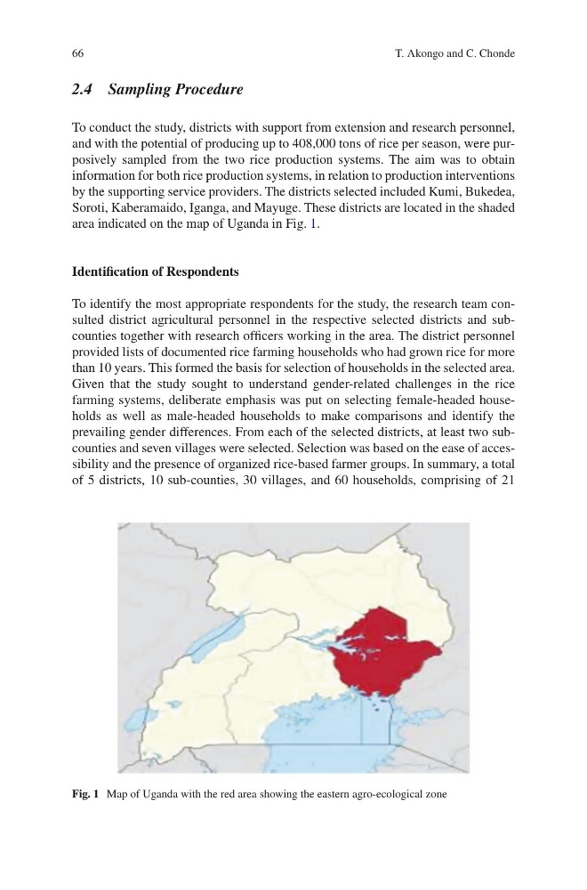
area indicated on the map of Uganda in Fig. 1.
Identification of Respondents
To identify the most appropriate respondents for the study, the research team consulted district agricultural personnel in the respective selected districts and subcounties together with research officers working in the area. The district personnel
provided lists of documented rice farming households who had grown rice for more
than 10 years. This formed the basis for selection of households in the selected area.
Given that the study sought to understand gender-related challenges in the rice
farming systems, deliberate emphasis was put on selecting female-headed households as well as male-headed households to make comparisons and identify the
prevailing gender differences. From each of the selected districts, at least two subcounties and seven villages were selected. Selection was based on the ease of accessibility and the presence of organized rice-based farmer groups. In summary, a total
of 5 districts, 10 sub-counties, 30 villages, and 60 households, comprising of 21
Fig. 1 Map of Uganda with the red area showing the eastern agro-ecological zone
T. Akongo and C. Chonde
2.4 Sampling Procedure
To conduct the study, districts with support from extension and research personnel,
and with the potential of producing up to 408,000 tons of rice per season, were purposively sampled from the two rice production systems. The aim was to obtain
information for both rice production systems, in relation to production interventions
by the supporting service providers. The districts selected included Kumi, Bukedea,
Soroti, Kaberamaido, Iganga, and Mayuge. These districts are located in the shaded
area indicated on the map of Uganda in Fig. 1.
Identification of Respondents
To identify the most appropriate respondents for the study, the research team consulted district agricultural personnel in the respective selected districts and subcounties together with research officers working in the area. The district personnel
provided lists of documented rice farming households who had grown rice for more
than 10 years. This formed the basis for selection of households in the selected area.
Given that the study sought to understand gender-related challenges in the rice
farming systems, deliberate emphasis was put on selecting female-headed households as well as male-headed households to make comparisons and identify the
prevailing gender differences. From each of the selected districts, at least two subcounties and seven villages were selected. Selection was based on the ease of accessibility and the presence of organized rice-based farmer groups. In summary, a total
of 5 districts, 10 sub-counties, 30 villages, and 60 households, comprising of 21
Fig. 1 Map of Uganda with the red area showing the eastern agro-ecological zone
T. Akongo and C. Chonde