

studies of rock friction and theoretical models of stress transfer to clarify how
stress interactions among active faults affect the sequencing of large earthquakes
( Figure 2.12 ). Excellent progress has also been made in understanding the
shorter-term, smaller-scale processes that control earthquake nucleation and
rupture dynamics. Combining this information with simulations of seismic wave
propagation through complex geological structures is leading to significant
improvements in the ability to forecast damaging ground motions— information
crucial to seismic hazard analysis and earthquake engineering.
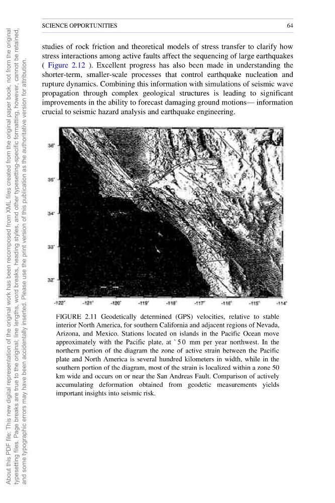
FIGURE 2.11 Geodetically determined (GPS) velocities, relative to stable
interior North America, for southern California and adjacent regions of Nevada,
Arizona, and Mexico. Stations located on islands in the Pacific Ocean move
approximately with the Pacific plate, at ` 5 0 mm per year northwest. In the
northern portion of the diagram the zone of active strain between the Pacific
plate and North America is several hundred kilometers in width, while in the
southern portion of the diagram, most of the strain is localized within a zone 50
km wide and occurs on or near the San Andreas Fault. Comparison of actively
accumulating deformation obtained from geodetic measurements yields
important insights into seismic risk.
SCIENCE OPPORTUNITIES
64
About this PDF file: This new digital representation of the
original work has been recomposed from XML files created
from the original paper book, not from the original
typesetting files. Page breaks are true to the original; line lengths,
word breaks, heading styles, and other typesetting-specific
formatting, however, cannot be retained,
and some typographic errors may have been accidentally inserted.
Please use the print version of this publication as the authoritative
version for attribution.
stress interactions among active faults affect the sequencing of large earthquakes
( Figure 2.12 ). Excellent progress has also been made in understanding the
shorter-term, smaller-scale processes that control earthquake nucleation and
rupture dynamics. Combining this information with simulations of seismic wave
propagation through complex geological structures is leading to significant
improvements in the ability to forecast damaging ground motions— information
crucial to seismic hazard analysis and earthquake engineering.
FIGURE 2.11 Geodetically determined (GPS) velocities, relative to stable
interior North America, for southern California and adjacent regions of Nevada,
Arizona, and Mexico. Stations located on islands in the Pacific Ocean move
approximately with the Pacific plate, at ` 5 0 mm per year northwest. In the
northern portion of the diagram the zone of active strain between the Pacific
plate and North America is several hundred kilometers in width, while in the
southern portion of the diagram, most of the strain is localized within a zone 50
km wide and occurs on or near the San Andreas Fault. Comparison of actively
accumulating deformation obtained from geodetic measurements yields
important insights into seismic risk.
SCIENCE OPPORTUNITIES
64
About this PDF file: This new digital representation of the
original work has been recomposed from XML files created
from the original paper book, not from the original
typesetting files. Page breaks are true to the original; line lengths,
word breaks, heading styles, and other typesetting-specific
formatting, however, cannot be retained,
and some typographic errors may have been accidentally inserted.
Please use the print version of this publication as the authoritative
version for attribution.