

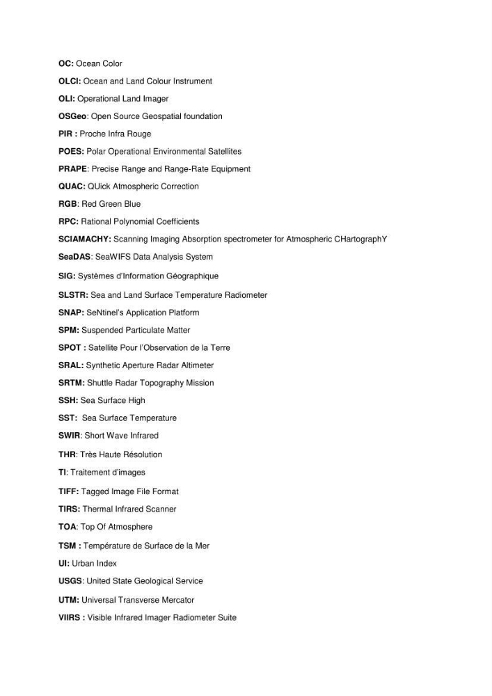
OC: Ocean Color
OLCI: Ocean and Land Colour Instrument
OLI: Operational Land Imager
OSGeo: Open Source Geospatial foundation
PIR : Proche Infra Rouge
POES: Polar Operational Environmental Satellites
PRAPE: Precise Range and Range-Rate Equipment
QUAC: QUick Atmospheric Correction
RGB: Red Green Blue
RPC: Rational Polynomial Coefficients
SCIAMACHY: Scanning Imaging Absorption spectrometer for Atmospheric CHartographY
SeaDAS: SeaWIFS Data Analysis System
SIG: Systèmes d’Information Géographique
SLSTR: Sea and Land Surface Temperature Radiometer
SNAP: SeNtinel’s Application Platform
SPM: Suspended Particulate Matter
SPOT : Satellite Pour l’Observation de la Terre
SRAL: Synthetic Aperture Radar Altimeter
SRTM: Shuttle Radar Topography Mission
SSH: Sea Surface High
SST: Sea Surface Temperature
SWIR: Short Wave Infrared
THR: Très Haute Résolution
TI: Traitement d’images
TIFF: Tagged Image File Format
TIRS: Thermal Infrared Scanner
TOA: Top Of Atmosphere
TSM : Température de Surface de la Mer
UI: Urban Index
USGS: United State Geological Service
UTM: Universal Transverse Mercator
VIIRS : Visible Infrared Imager Radiometer Suite
OLCI: Ocean and Land Colour Instrument
OLI: Operational Land Imager
OSGeo: Open Source Geospatial foundation
PIR : Proche Infra Rouge
POES: Polar Operational Environmental Satellites
PRAPE: Precise Range and Range-Rate Equipment
QUAC: QUick Atmospheric Correction
RGB: Red Green Blue
RPC: Rational Polynomial Coefficients
SCIAMACHY: Scanning Imaging Absorption spectrometer for Atmospheric CHartographY
SeaDAS: SeaWIFS Data Analysis System
SIG: Systèmes d’Information Géographique
SLSTR: Sea and Land Surface Temperature Radiometer
SNAP: SeNtinel’s Application Platform
SPM: Suspended Particulate Matter
SPOT : Satellite Pour l’Observation de la Terre
SRAL: Synthetic Aperture Radar Altimeter
SRTM: Shuttle Radar Topography Mission
SSH: Sea Surface High
SST: Sea Surface Temperature
SWIR: Short Wave Infrared
THR: Très Haute Résolution
TI: Traitement d’images
TIFF: Tagged Image File Format
TIRS: Thermal Infrared Scanner
TOA: Top Of Atmosphere
TSM : Température de Surface de la Mer
UI: Urban Index
USGS: United State Geological Service
UTM: Universal Transverse Mercator
VIIRS : Visible Infrared Imager Radiometer Suite