

147
where method development is necessary and limits the adoption of more
advanced RS efforts by the forest management community. However, the
increased use of automated image processing scripts that make satellite image
products available in near real time is expanding the use of traditional (vegetation index-based) relative assessments available for a variety of applications. The
resulting online tools described above are being adopted by a range of state and
federal agencies to inform management decisions.
• Integration of mapping products into decision-making processes. Even when RS
products are available, there is no clear path on how to use the information they
provide to inform decision-making. Land managers may reference mapping
products to target specific locations, but more complete integration of spatial
products into management plans can be challenging for those not used to working with spatial data. Foresters are typically trained in making decisions based on
generalized inventories of forest stands or management units, not pixelated rasters across a landscape with a high degree of variability. End users may not be
aware that mapping products should come with an accuracy assessment that
informs how the information can best be used and how it impacts the overall
confidence in the product. Many of these limitations can be resolved by scientists
working more closely with end users as outlined in the Stakeholder Engagement
section above. By working together, both scientists and land managers can learn
from each other and so better use RS technologies to manage critical environmental resources.
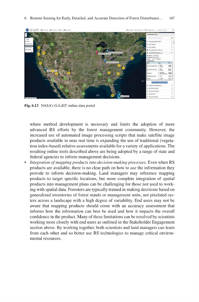
Fig. 6.13 NASA’s G-LiHT online data portal
6 Remote Sensing for Early, Detailed, and Accurate Detection of Forest Disturbance…
where method development is necessary and limits the adoption of more
advanced RS efforts by the forest management community. However, the
increased use of automated image processing scripts that make satellite image
products available in near real time is expanding the use of traditional (vegetation index-based) relative assessments available for a variety of applications. The
resulting online tools described above are being adopted by a range of state and
federal agencies to inform management decisions.
• Integration of mapping products into decision-making processes. Even when RS
products are available, there is no clear path on how to use the information they
provide to inform decision-making. Land managers may reference mapping
products to target specific locations, but more complete integration of spatial
products into management plans can be challenging for those not used to working with spatial data. Foresters are typically trained in making decisions based on
generalized inventories of forest stands or management units, not pixelated rasters across a landscape with a high degree of variability. End users may not be
aware that mapping products should come with an accuracy assessment that
informs how the information can best be used and how it impacts the overall
confidence in the product. Many of these limitations can be resolved by scientists
working more closely with end users as outlined in the Stakeholder Engagement
section above. By working together, both scientists and land managers can learn
from each other and so better use RS technologies to manage critical environmental resources.
Fig. 6.13 NASA’s G-LiHT online data portal
6 Remote Sensing for Early, Detailed, and Accurate Detection of Forest Disturbance…