

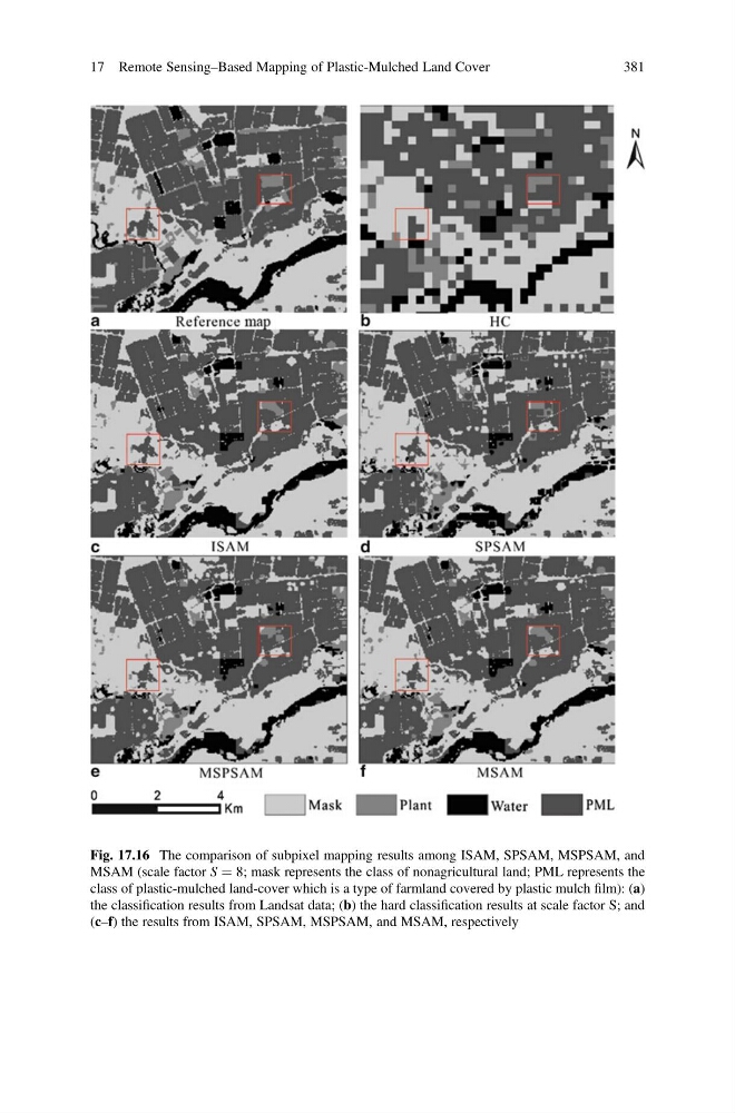
Fig. 17.16 The comparison of subpixel mapping results among ISAM, SPSAM, MSPSAM, and
MSAM (scale factor S ¼ 8; mask represents the class of nonagricultural land; PML represents the
class of plastic-mulched land-cover which is a type of farmland covered by plastic mulch film): (a)
the classification results from Landsat data; (b) the hard classification results at scale factor S; and
(c–f) the results from ISAM, SPSAM, MSPSAM, and MSAM, respectively
17 Remote Sensing–Based Mapping of Plastic-Mulched Land Cover
381
MSAM (scale factor S ¼ 8; mask represents the class of nonagricultural land; PML represents the
class of plastic-mulched land-cover which is a type of farmland covered by plastic mulch film): (a)
the classification results from Landsat data; (b) the hard classification results at scale factor S; and
(c–f) the results from ISAM, SPSAM, MSPSAM, and MSAM, respectively
17 Remote Sensing–Based Mapping of Plastic-Mulched Land Cover
381