

13.3.1.6 Pan-Sharpening
The satellite imagery providers delivered satellite scenes in two datasets: highresolution panchromatic and lower-resolution multispectral. In order to create
high-resolution multispectral images, both datasets were merged in a pan-sharpening
process. As a result of this process, low-resolution multispectral imagery (2.0 m
GSD) was resampled at 400% better resolution with a panchromatic high-resolution
image, i.e., resulting in 0.50 m resolution. A pan-sharpened satellite scene inherits
spectral signatures from the multispectral image and spatial features from the input
high-resolution panchromatic image, which are the best attributes of both inputs.
As a result of the process, high-resolution multispectral 16-bit images were
generated and forwarded for further processing. Pan-sharpening was carried out
using ERDAS LPS v. 2014 software.
13.3.2 Constraints for Aerial Imagery
The LPIS database is used to effectively and properly distribute the agricultural
funds to the farmers. Therefore, it must be maintained sensitively, and standards
should be followed. The following are the constraints for aerial imagery acquisition:
13.3.2.1 Cloud Cover Percentage
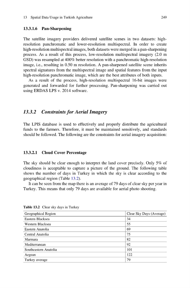
The sky should be clear enough to interpret the land cover precisely. Only 5% of
cloudiness is acceptable to capture a picture of the ground. The following table
shows the number of days in Turkey in which the sky is clear according to the
geographical region (Table 13.2).
It can be seen from the map there is an average of 79 days of clear sky per year in
Turkey. This means that only 79 days are available for aerial photo shooting.
Table 13.2 Clear sky days in Turkey
Geographical Region
Clear Sky Days (Average)
Eastern Blacksea
34
Western Blacksea
55
Eastern Anatolia
69
Central Anatolia
75
Marmara
82
Mediterranean
92
Southeastern Anatolia
101
Aegean
122
Turkey average
79
13 Spatial Data Usage in Turkish Agriculture
249
The satellite imagery providers delivered satellite scenes in two datasets: highresolution panchromatic and lower-resolution multispectral. In order to create
high-resolution multispectral images, both datasets were merged in a pan-sharpening
process. As a result of this process, low-resolution multispectral imagery (2.0 m
GSD) was resampled at 400% better resolution with a panchromatic high-resolution
image, i.e., resulting in 0.50 m resolution. A pan-sharpened satellite scene inherits
spectral signatures from the multispectral image and spatial features from the input
high-resolution panchromatic image, which are the best attributes of both inputs.
As a result of the process, high-resolution multispectral 16-bit images were
generated and forwarded for further processing. Pan-sharpening was carried out
using ERDAS LPS v. 2014 software.
13.3.2 Constraints for Aerial Imagery
The LPIS database is used to effectively and properly distribute the agricultural
funds to the farmers. Therefore, it must be maintained sensitively, and standards
should be followed. The following are the constraints for aerial imagery acquisition:
13.3.2.1 Cloud Cover Percentage
The sky should be clear enough to interpret the land cover precisely. Only 5% of
cloudiness is acceptable to capture a picture of the ground. The following table
shows the number of days in Turkey in which the sky is clear according to the
geographical region (Table 13.2).
It can be seen from the map there is an average of 79 days of clear sky per year in
Turkey. This means that only 79 days are available for aerial photo shooting.
Table 13.2 Clear sky days in Turkey
Geographical Region
Clear Sky Days (Average)
Eastern Blacksea
34
Western Blacksea
55
Eastern Anatolia
69
Central Anatolia
75
Marmara
82
Mediterranean
92
Southeastern Anatolia
101
Aegean
122
Turkey average
79
13 Spatial Data Usage in Turkish Agriculture
249