

target (i.e., atmospheric refraction and turbulence, Earth curvature, rotation, and
topographic effect), and projection (i.e., mismatches from geoid to ellipsoid,
ellipsoid to map) need to go through fine geographic corrections which require
specific processes of modeling and mathematical functions (Toutin 2004). For
crop mapping, fine geometric corrections are often required considering the need
for fine resolution, off-nadir viewing, digital processing, fusion of images, and
integration of multiformat data (Toutin 2004). The fine geometric correction
starts with image acquisition, and its metadata analysis if physical model is
adopted for correction. The remaining steps for either physical model-based
correction or empirical model-based correction are (JARS 1999; Toutin 2004)
(1) collecting sufficient ground control points, (2) estimating the unknown
parameters of the selected model, (3) rectifying the images, and (4) interpolating
and resampling the radiometric value.
Radiometric correction is the process of eliminating the radiometric distortions
(JARS 1999). The sources of radiometric distortions are sensor sensitivity, sun
angle and topography, and atmosphere (JARS 1999). The common levels of
radiometric corrections are the top of atmosphere (TOA) reflectance calculations
(Kaufman et al. 1997; Hansen and Loveland 2012; Roy et al. 2014), surface
reflectance calculation (Vermote et al. 1997, 2002; Hansen and Loveland 2012),
bi-directional reflectance distribution function (BRDF) and view angle normalization (Danaher et al. 2001; Schaaf et al. 2002), and terrain normalization
(Lu et al. 2008), in the order of simple to complex level. The application of
radiometric correction and its level of sophistication depend on the applications
(Song et al. 2001). If the classification is trained on one scene and applied on the
same scene, the sophisticated radiometric correction is not necessary (Song et al.
2001; Hansen and Loveland 2012). TOA may be sufficient in the general
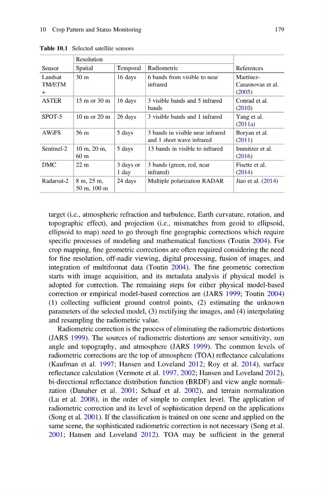
Table 10.1 Selected satellite sensors
Sensor
Resolution
References
Spatial
Temporal Radiometric
Landsat
TM/ETM
+
30 m
16 days
6 bands from visible to near
infrared
MartínezCasasnovas et al.
(2005)
ASTER
15 m or 30 m 16 days
3 visible bands and 5 infrared
bands
Conrad et al.
(2010)
SPOT-5
10 m or 20 m 26 days
3 visible bands and 1 infrared
Yang et al.
(2011a)
AWiFS
56 m
5 days
3 bands in visible near infrared
and 1 short wave infrared
Boryan et al.
(2011)
Sentinel-2 10 m, 20 m,
60 m
5 days
13 bands in visible to infrared
Immitzer et al.
(2016)
DMC
22 m
3 days or
1 day
3 bands (green, red, near
infrared)
Fisette et al.
(2014)
Radarsat-2 8 m, 25 m,
50 m, 100 m
24 days
Multiple polarization RADAR
Jiao et al. (2014)
10 Crop Pattern and Status Monitoring
179
topographic effect), and projection (i.e., mismatches from geoid to ellipsoid,
ellipsoid to map) need to go through fine geographic corrections which require
specific processes of modeling and mathematical functions (Toutin 2004). For
crop mapping, fine geometric corrections are often required considering the need
for fine resolution, off-nadir viewing, digital processing, fusion of images, and
integration of multiformat data (Toutin 2004). The fine geometric correction
starts with image acquisition, and its metadata analysis if physical model is
adopted for correction. The remaining steps for either physical model-based
correction or empirical model-based correction are (JARS 1999; Toutin 2004)
(1) collecting sufficient ground control points, (2) estimating the unknown
parameters of the selected model, (3) rectifying the images, and (4) interpolating
and resampling the radiometric value.
Radiometric correction is the process of eliminating the radiometric distortions
(JARS 1999). The sources of radiometric distortions are sensor sensitivity, sun
angle and topography, and atmosphere (JARS 1999). The common levels of
radiometric corrections are the top of atmosphere (TOA) reflectance calculations
(Kaufman et al. 1997; Hansen and Loveland 2012; Roy et al. 2014), surface
reflectance calculation (Vermote et al. 1997, 2002; Hansen and Loveland 2012),
bi-directional reflectance distribution function (BRDF) and view angle normalization (Danaher et al. 2001; Schaaf et al. 2002), and terrain normalization
(Lu et al. 2008), in the order of simple to complex level. The application of
radiometric correction and its level of sophistication depend on the applications
(Song et al. 2001). If the classification is trained on one scene and applied on the
same scene, the sophisticated radiometric correction is not necessary (Song et al.
2001; Hansen and Loveland 2012). TOA may be sufficient in the general
Table 10.1 Selected satellite sensors
Sensor
Resolution
References
Spatial
Temporal Radiometric
Landsat
TM/ETM
+
30 m
16 days
6 bands from visible to near
infrared
MartínezCasasnovas et al.
(2005)
ASTER
15 m or 30 m 16 days
3 visible bands and 5 infrared
bands
Conrad et al.
(2010)
SPOT-5
10 m or 20 m 26 days
3 visible bands and 1 infrared
Yang et al.
(2011a)
AWiFS
56 m
5 days
3 bands in visible near infrared
and 1 short wave infrared
Boryan et al.
(2011)
Sentinel-2 10 m, 20 m,
60 m
5 days
13 bands in visible to infrared
Immitzer et al.
(2016)
DMC
22 m
3 days or
1 day
3 bands (green, red, near
infrared)
Fisette et al.
(2014)
Radarsat-2 8 m, 25 m,
50 m, 100 m
24 days
Multiple polarization RADAR
Jiao et al. (2014)
10 Crop Pattern and Status Monitoring
179