

Upper Océan Thermal Structure and Fronts Between New Zealand and the Ross Sea
69
46°00'S
48°00'S
50°00'S
52°00'S
54°00'S
56°00'S
58°00'S
60°00'S
62°00'S
64°00'S
66°00'S
68°00'S
70°00'S
72°00'S
74°00'S
76°00'S
78°00'S
162°00'E
166°00'E
170°00'E
174°00'E
178°00'E
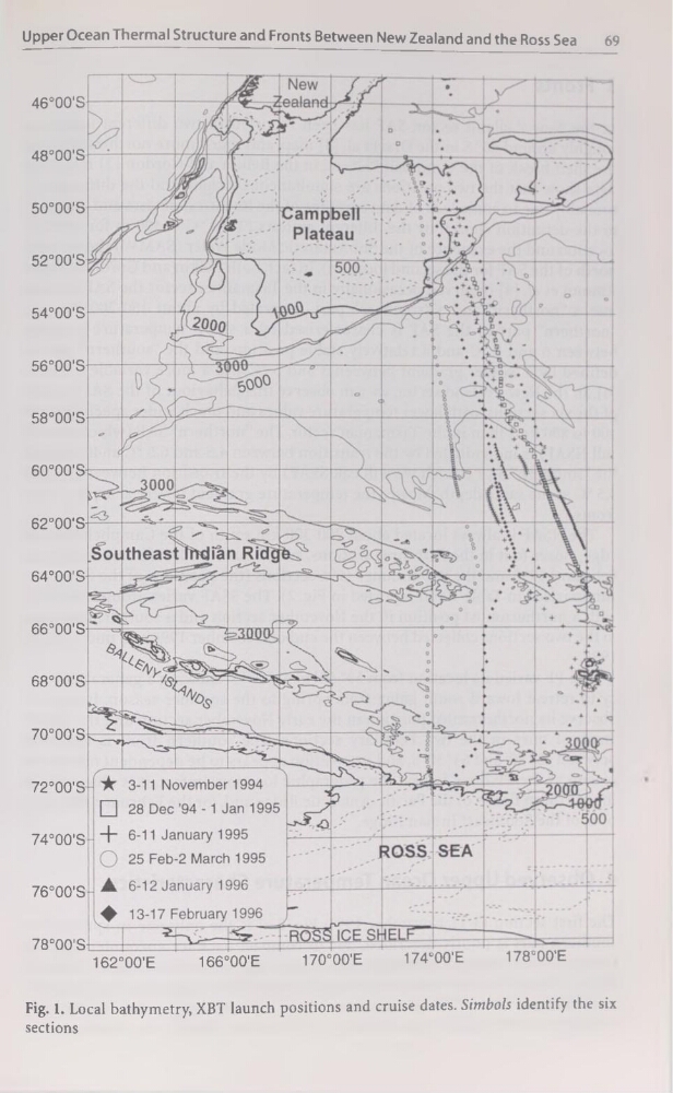
Fig. 1. Local bathymetry, XBT launch positions and cruise dates. Simbols identify the six
sections
69
46°00'S
48°00'S
50°00'S
52°00'S
54°00'S
56°00'S
58°00'S
60°00'S
62°00'S
64°00'S
66°00'S
68°00'S
70°00'S
72°00'S
74°00'S
76°00'S
78°00'S
162°00'E
166°00'E
170°00'E
174°00'E
178°00'E
Fig. 1. Local bathymetry, XBT launch positions and cruise dates. Simbols identify the six
sections