

Enwironmental and resource applications
rivers must also he taken into account in order to assess continental inputs
to the Bay of Biscay. Generally, they contribute to the sedimentological
and biogeochemical balance in coastal zones and continental margins.
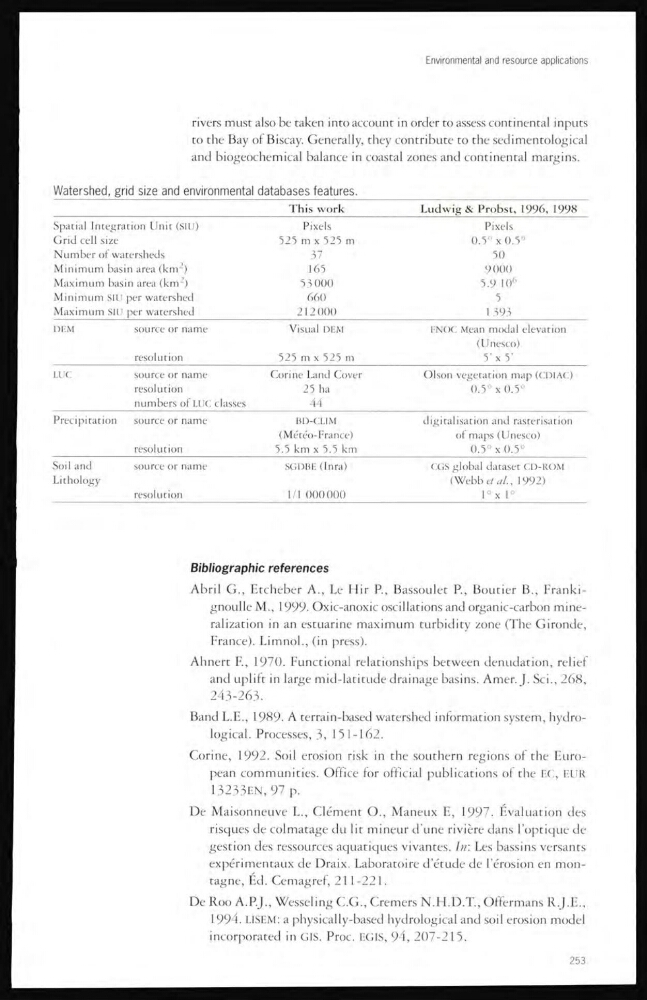
Watershed, grid size and environmental databases features.
This work
Ludwig & Probst, 1996, 1998
Spatial Integration Unit (SIU)
Pixels
Pixels
Grid cell size
525 m x 525 m
0.5 ' x 0.5°
Number of watersheds
3' 7
50
Minimum basi in area (km 2 )
165
9000
Maximum bas: in area (km
2 )
53 000
5.9 10 6
Minimum SIU per watershed
660
5
Maximum SIU per watershed
212000
1 393
DEM
source or name
Visual DEM
FNOC Mean modal elevation
( Unesco)
resolution
525 m x 525 m
5' x 5'
LUC
source or name
Corine Land Cover
Olson vegetation map (CDIAC)
resolution
25 ha
0.5° x 0.5°
numbers of LUC classes
44
Precipitation
source or name
BD-CLIM
digitalisation and rasterisation
(Météo-France)
of maps (Unesco)
resolution
5.5 km x 5.5 km
0.5° x 0.5°
Soil and
source or name
SGDBE (Inra)
CGS global dataset CD-ROM
Lithology
(Webb et al., 1992)
resoiution
1/1 000000
1 X 1°
Bibliographic references
Abril G., Etcheber A., Le Hir R, Bassoulet P., Boutier B., Frankignoulle M., 1999. Oxic-anoxic oscillations and organic-carbon mineralization in an estuarine maximum turbidity zone (The Gironde,
France). Limnol., (in press).
Ahnert E, 1970. Functional relationships between denudation, relief
and uplift in large mid-latitude drainage basins. Amer. J. Sci., 268,
243-263.
Band L.E., 1989. A terrain-based watershed information system, hydrological. Processes, 3, 151-162.
Corine, 1992. Soil erosion risk m the southern regions of the European communities. Office for official publications of the EC, EUR
13233EN,97 p.
De Maisonneuve L., Clément O., Maneux E, 1997. Evaluation des
risques de colmatage du lit mineur d’une rivière dans l’optique cle
gestion des ressources aquatiques vivantes. In: Les bassins versants
expérimentaux de Draix. Laboratoire d’étude de l’érosion en montagne, Éd. Cemagref, 2 1 1 -221.
De Roo A.P.J., Wesseling C.G., Cremers N.H.D.T., Offermans R.J.E.,
1994. LISEM: a physically-based hydrological and soil erosion model
incorporated in GIS. Proc. F.GIS, 94, 207-215.
253
rivers must also he taken into account in order to assess continental inputs
to the Bay of Biscay. Generally, they contribute to the sedimentological
and biogeochemical balance in coastal zones and continental margins.
Watershed, grid size and environmental databases features.
This work
Ludwig & Probst, 1996, 1998
Spatial Integration Unit (SIU)
Pixels
Pixels
Grid cell size
525 m x 525 m
0.5 ' x 0.5°
Number of watersheds
3' 7
50
Minimum basi in area (km 2 )
165
9000
Maximum bas: in area (km
2 )
53 000
5.9 10 6
Minimum SIU per watershed
660
5
Maximum SIU per watershed
212000
1 393
DEM
source or name
Visual DEM
FNOC Mean modal elevation
( Unesco)
resolution
525 m x 525 m
5' x 5'
LUC
source or name
Corine Land Cover
Olson vegetation map (CDIAC)
resolution
25 ha
0.5° x 0.5°
numbers of LUC classes
44
Precipitation
source or name
BD-CLIM
digitalisation and rasterisation
(Météo-France)
of maps (Unesco)
resolution
5.5 km x 5.5 km
0.5° x 0.5°
Soil and
source or name
SGDBE (Inra)
CGS global dataset CD-ROM
Lithology
(Webb et al., 1992)
resoiution
1/1 000000
1 X 1°
Bibliographic references
Abril G., Etcheber A., Le Hir R, Bassoulet P., Boutier B., Frankignoulle M., 1999. Oxic-anoxic oscillations and organic-carbon mineralization in an estuarine maximum turbidity zone (The Gironde,
France). Limnol., (in press).
Ahnert E, 1970. Functional relationships between denudation, relief
and uplift in large mid-latitude drainage basins. Amer. J. Sci., 268,
243-263.
Band L.E., 1989. A terrain-based watershed information system, hydrological. Processes, 3, 151-162.
Corine, 1992. Soil erosion risk m the southern regions of the European communities. Office for official publications of the EC, EUR
13233EN,97 p.
De Maisonneuve L., Clément O., Maneux E, 1997. Evaluation des
risques de colmatage du lit mineur d’une rivière dans l’optique cle
gestion des ressources aquatiques vivantes. In: Les bassins versants
expérimentaux de Draix. Laboratoire d’étude de l’érosion en montagne, Éd. Cemagref, 2 1 1 -221.
De Roo A.P.J., Wesseling C.G., Cremers N.H.D.T., Offermans R.J.E.,
1994. LISEM: a physically-based hydrological and soil erosion model
incorporated in GIS. Proc. F.GIS, 94, 207-215.
253