

Technical aspects of data acquisition and display
differences in the ground data do correspond to topographical variations of the terrain and are not due to roll or shift in the data. Possible
roll or shift in the strips are then detected and corrected. Once the elevation variations describe the terrain elevation variations, external
controls are performed to check the relative position of the obtained
model with the terrain level. To do so, ground points giving Z control
values are used.
For the quality control of the 1999 project, some ground measurements have been performed on flat areas to provide reference Z values.
One of these control areas is situated on Terschelling island (one of the
seven islands of the north Dutch coast). This control area is a grass
field of 2,70 km 2 , where 209 reference points have been determined.
There were 7 806 laser scanning measurements corresponding to this
area. The average height difference between the reference points and
the laser scanning measurements for this control area was - 5 cm and the
standard deviation was seven centimetres. The quality of the data depends
on the ground vegetation coverage. The water work companies and the
Survey Department projects required a standard deviation of maximum
15 cm on the Z component. This accuracy has been achieved for both
projects. Although planimetric accuracy can be assessed in using houses
or linear man made objects, for the coastal zone management projects
described, the quality criteria of the data was specified by means of systematic error and standard deviation on the Z component only.
Figure 3c shows some examples of yearly changes in coastal areas due
to wind and sea action, calculated from the 1998 and 1999 dataset of
Texel island (another of the seven islands).
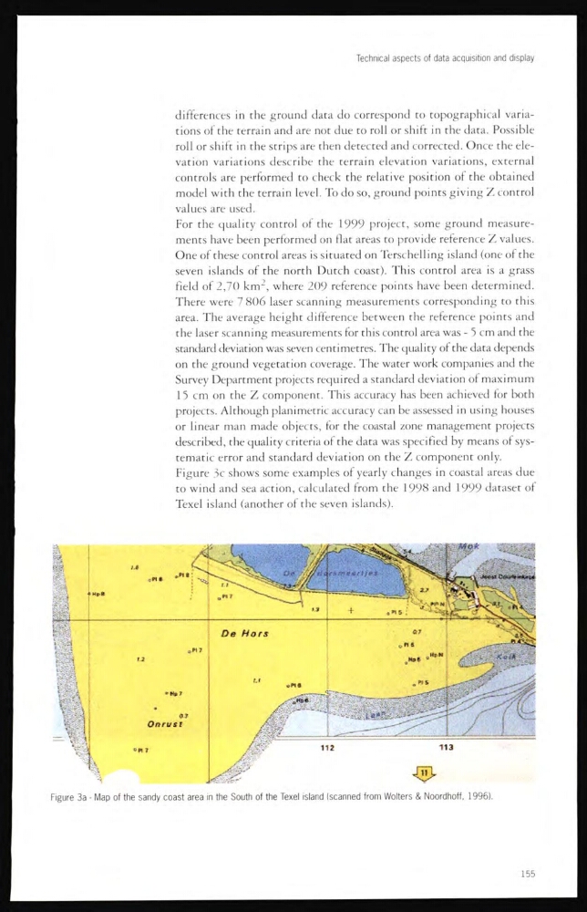
Figure 3a - Map of the sandy coast area in the South of the Texel island (scanned from Wolters & Noordhoff, 1996).
155
differences in the ground data do correspond to topographical variations of the terrain and are not due to roll or shift in the data. Possible
roll or shift in the strips are then detected and corrected. Once the elevation variations describe the terrain elevation variations, external
controls are performed to check the relative position of the obtained
model with the terrain level. To do so, ground points giving Z control
values are used.
For the quality control of the 1999 project, some ground measurements have been performed on flat areas to provide reference Z values.
One of these control areas is situated on Terschelling island (one of the
seven islands of the north Dutch coast). This control area is a grass
field of 2,70 km 2 , where 209 reference points have been determined.
There were 7 806 laser scanning measurements corresponding to this
area. The average height difference between the reference points and
the laser scanning measurements for this control area was - 5 cm and the
standard deviation was seven centimetres. The quality of the data depends
on the ground vegetation coverage. The water work companies and the
Survey Department projects required a standard deviation of maximum
15 cm on the Z component. This accuracy has been achieved for both
projects. Although planimetric accuracy can be assessed in using houses
or linear man made objects, for the coastal zone management projects
described, the quality criteria of the data was specified by means of systematic error and standard deviation on the Z component only.
Figure 3c shows some examples of yearly changes in coastal areas due
to wind and sea action, calculated from the 1998 and 1999 dataset of
Texel island (another of the seven islands).
Figure 3a - Map of the sandy coast area in the South of the Texel island (scanned from Wolters & Noordhoff, 1996).
155